
What is recorded here
Listed in the SMR (1989) and the RMP (1995) and classified in both as 'Enclosure, possible'. Its inclusion is based on evidence from an aerial photograph (IASAP, 3033062-3) of a curved feature. This is not an enclosure, but is part of a field boundary in a field system (SL038-016002-).
Compiled by: Archaeological Survey Unit, UCC with revisions by Patrick F. O'Donovan and Paul Walsh
Date of upload: 20 June 2011
The monument record does not grant public access. Check the route and ask the landowner before entering private land.
- What survives
- Recorded monument
Places near here
 Quarry in AchonryQuarry · 384 yd
 Enclosure in AchonryEnclosure · 459 yd
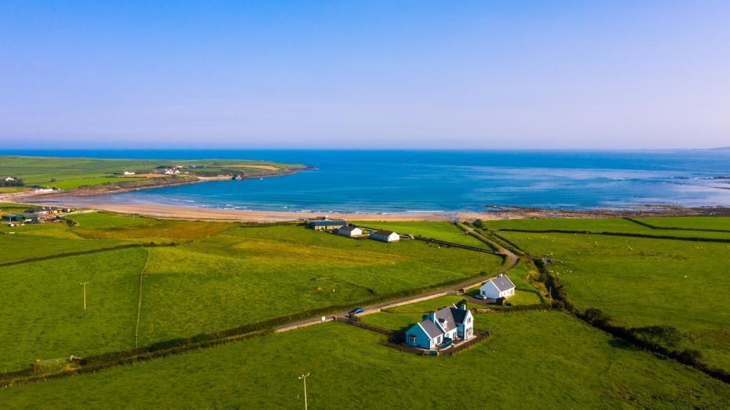 LiscatFairy fort / earthen ringfort · 957 yd
 Penitential station in AchonryPenitential station · 1504 yd
 Castle (in Ruins)Castle, tower house · 1.4 mi
 Tymon's HillMountain / peak · 1.6 mi
 CastleCastle, unclassified · 2.0 mi
 Muckelty HillMountain / peak · 2.4 mi
 ElderElder · 3.8 mi
 European ashEuropean ash · 4.0 mi
 Brother WalfridMemorial · 5.1 mi
 Old Cave Burial GroundArchaeological place · 5.8 mi
Other information
Photo: Credit not shown in the picture search · Rights wording not checked; contact us if this picture should be removed