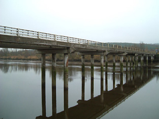
What is recorded here
Fourteen-arch reinforced concrete road bridge over river, rebuilt 1983, incorporating fabric of earlier bridge, post-1840, on site (possibly subsequently repaired, 1924) comprising seven-span section to north-east terminating in single-arch underpass to north-east, and seven-span section to south-west. Coursed rock-faced cut-limestone walls to north-east having rock-faced cut-limestone tapered piers, limestone ashlar stringcourse, coursed cut-limestone parapet having cut-limestone coping, and cut-limestone terminating half-piers with moulded necking supporting half-pyramidal capping. Series of fourteen reinforced concrete lintel spans on grouped (three) cylindrical piers having steel railings over to parapet. Single round arch to underpass with rock-faced cut-limestone voussoirs, and squared limestone soffits having render over. Sited spanning River Suir with central section spanning Fiddown Island.
Forming a dramatic landmark in the landscape an impressive bridge presents a strong horizontal feature spanning a broad section of the River Suir. Retaining the fabric of an earlier counterpart on site the bridge is of additional importance for the historic associations with the Malcomson family of nearby Portlaw who, being major shareholders in the railway companies in Ireland, financed much of the construction as a means of connecting the model industrial village in County Waterford with the station recently established in Fiddown (12327004/KK-42-27-04). Possibly subsequently repaired following an incident related to "The Troubles" (1922-3) a total reconstruction of the bridge in the late twentieth century involved the retention of some earlier fabric displaying high quality stone masonry.
This does not grant access. Most recorded buildings are privately owned; view them only from public ground unless the owner allows entry.
Places near here
 Fiddown IslandIslet · 63 yd
 toll housetoll house · 281 yd
 Fiddown Churchchurch/chapel · 345 yd
 CastleCastle, tower house · 352 yd
 Graveyard in FiddownGraveyard · 355 yd
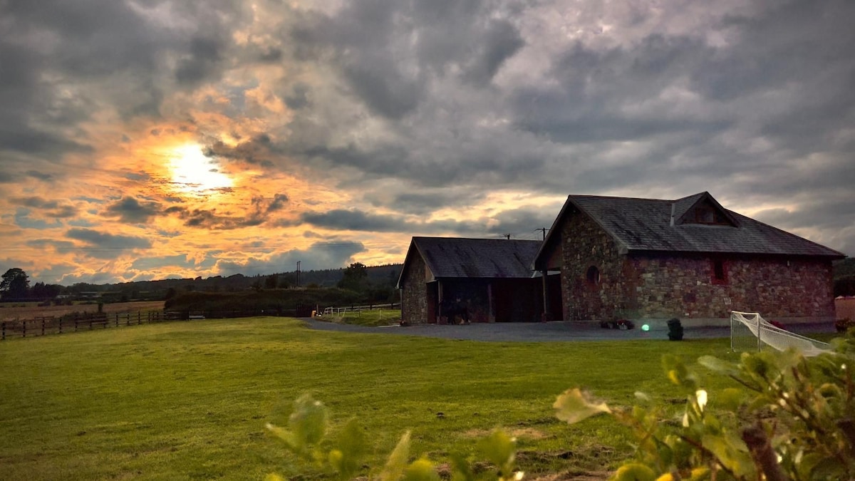 Mount Bolton WoodForest · 765 yd
 Hearth in MountboltonHearth · 1.0 mi
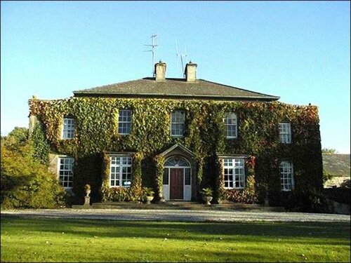 Burnt mound in BrownswoodBurnt mound · 1.3 mi
 Tower HillMountain / peak · 1.4 mi
 Gortrush WoodForest · 1.8 mi
 St. John's WellSpring · 1.9 mi
 Tiberaghney CastleCastle, tower house · 2.0 mi
Other information
Photo: National Inventory of Architectural Heritage · Website use allowed for educational or private purposes with source credit