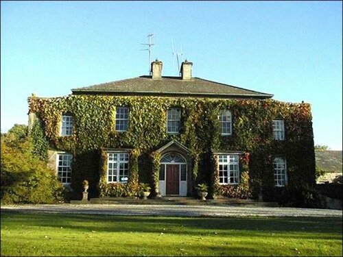
What is recorded here
Located on a steep N-facing slope overlooking the W-E River Suir. A spread of broken and burnt stone (diam. at base 10m) was found during the laying of a Bord Gáis pipeline, but most of the mound probably lies outside the pipeline corridor to the N. (M. Gowen fieldnotes, 1986)
The above description is derived from the published 'Archaeological Inventory of County Waterford' (Dublin: Stationery Office, 1999). In certain instances the entries have been revised and updated in the light of recent research.
Date of upload/revision: 23 December 2008
Burnt mound, likely dating to the Neolithic or Early Bronze Age. Such features are often associated with ritual or industrial activities, and this example may represent a heat-related structure, possibly used for cooking, hide processing, or ceremonial purposes.
The monument record does not grant public access. Check the route and ask the landowner before entering private land.
- What survives
- Recorded monument
Places near here
 Church in Killowen (upperthird By.)Church · 1011 yd
 Tower HillMountain / peak · 1161 yd
 Tibberaghny Standing StoneArchaeological place · 1751 yd
 Font in TibberaghnyFont · 1.0 mi
 Tiberaghney CastleCastle, tower house · 1.1 mi
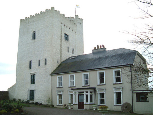 Tybroughney Castlefarm house · 1.1 mi
 Fiddown IslandIslet · 1.3 mi
 CastleCastle, tower house · 1.3 mi
 Mount Bolton WoodForest · 1.4 mi
 Graveyard in FiddownGraveyard · 1.4 mi
 Tower Hill WoodWood · 1.5 mi
 Ponsonby Memorial TowerMonument · 1.7 mi
Other information
Photo: Credit not shown in the picture search · Rights wording not checked; contact us if this picture should be removed