
What is recorded here
Mid-19th-century road bridge (Wth c. 7.2m; long axis E-W) spanning n-flowing tributary of the Kenmare River. Very overgrown but body appears to be of semi-coursed sandstone ashlar. Single semicircular arch with roughly saped. Base of parapets oversail body of bridge. Vertical stone coping on parapets. Stone used to build bridge was quarried using explosives as evidenced by drill holes in many of the stones. Bridge appears to have been built in 1840s during the construction of the new line of the KenmareCastletownbere road and replaced an older bridge (KE101-122---) c. 100m to the S.
Compiled by: Elizabeth Byrne, Ursula Egan and Sheila Ronan, Archaeological Survey Unit, University College, Cork.
Date of upload: 30 May 2011
The monument record does not grant public access. Check the route and ask the landowner before entering private land.
- What survives
- Recorded monument
Places near here
 Dinish IslandIslet · 1188 yd
 Mass-house in CarksMass-house · 1.2 mi
 Feorus EastMountain / peak · 1.4 mi
 Field boundary in DerrynamucklaghField boundary · 1.5 mi
 SheepfoldEnclosure · 1.6 mi
 Coss StrandBeach / strand · 1.6 mi
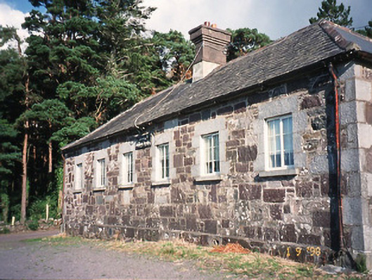 Dawros National Schoolschool · 1.6 mi
 Dunkerron Island WestIslet · 1.8 mi
 Cappanacush Castle (ruins)Castle · 1.8 mi
 Uragh WoodForest · 2.6 mi
 Gleninchaquin ParkHeritage attraction · 2.8 mi
 Knocknagorraveela NE TopMountain / peak · 2.8 mi
Other information
Photo: Credit not shown in the picture search · Rights wording not checked; contact us if this picture should be removed