
What is recorded here
From the National Monuments Service (Archaeological Survey of Ireland) record GA110-048001
Places near here
Photo credits
- Maker not stated on source page, www.alamy.com
- ron layters, Geograph · CC BY-SA 2.0
- Maker not stated on source page, en.wikipedia.org
- Ronan Mac Giollapharaic, Wikimedia Commons · CC BY-SA 4.0
- Maker not stated on source page, commons.wikimedia.org
- Maker not stated on source page, www.flickr.com
- Anne Burgess, Geograph · CC BY-SA 2.0
- Herbert Ortner, Wikimedia Commons · CC BY 3.0
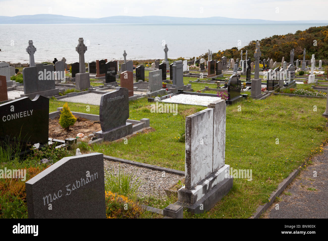 Mapped cemeteryCemetery · 59 yd
Explorer Tom This mapped cemetery in Galway does absolutely nothing when nobody is looking, which is impressive for a place that…
 Port MhuirbhighBeach / strand · 221 yd
Explorer Tom Port Mhuirbhigh says if it won the lotto, it would buy a really big umbrella and stand under it forever, just to prove…
 Cross-inscribed stone in Cill MhuirbhighCross-inscribed stone · 319 yd
Explorer Tom Cross-inscribed stone in Cill Mhuirbhigh is suspicious of the postman because he always knocks on the door instead of…
 TemplenaneeveChurch · 319 yd
Explorer Tom Templenaneeve in Cill Éinne is hiding a treasure that is definitely a biscuit tin from 1952. It's just lower portions…
 Pillar stone in Cill MhuirbhighPillar stone · 427 yd
Explorer Tom Pillar stone in Cill Mhuirbhigh is basically a giant scratching post for confused cattle, standing near a church called…
 Teampal MacDuaghHeritage attraction · 438 yd
Explorer Tom Teampal MacDuagh in County Galway is being very serious about its history, but I suspect the local rabbits are using it…
 Church in Eochaill (bar. Árainn)Church · 482 yd
Explorer Tom Church in Eochaill would review its visitors as 'adequate, but lacking in historical context'. It’s been standing there…
 Cross-inscribed stone in Eochaill (bar. Árainn)Cross-inscribed stone · 482 yd
Explorer Tom Cross-inscribed stone in Eochaill used to be two slabs in a wall, but they’re lost now because people rebuilt things…
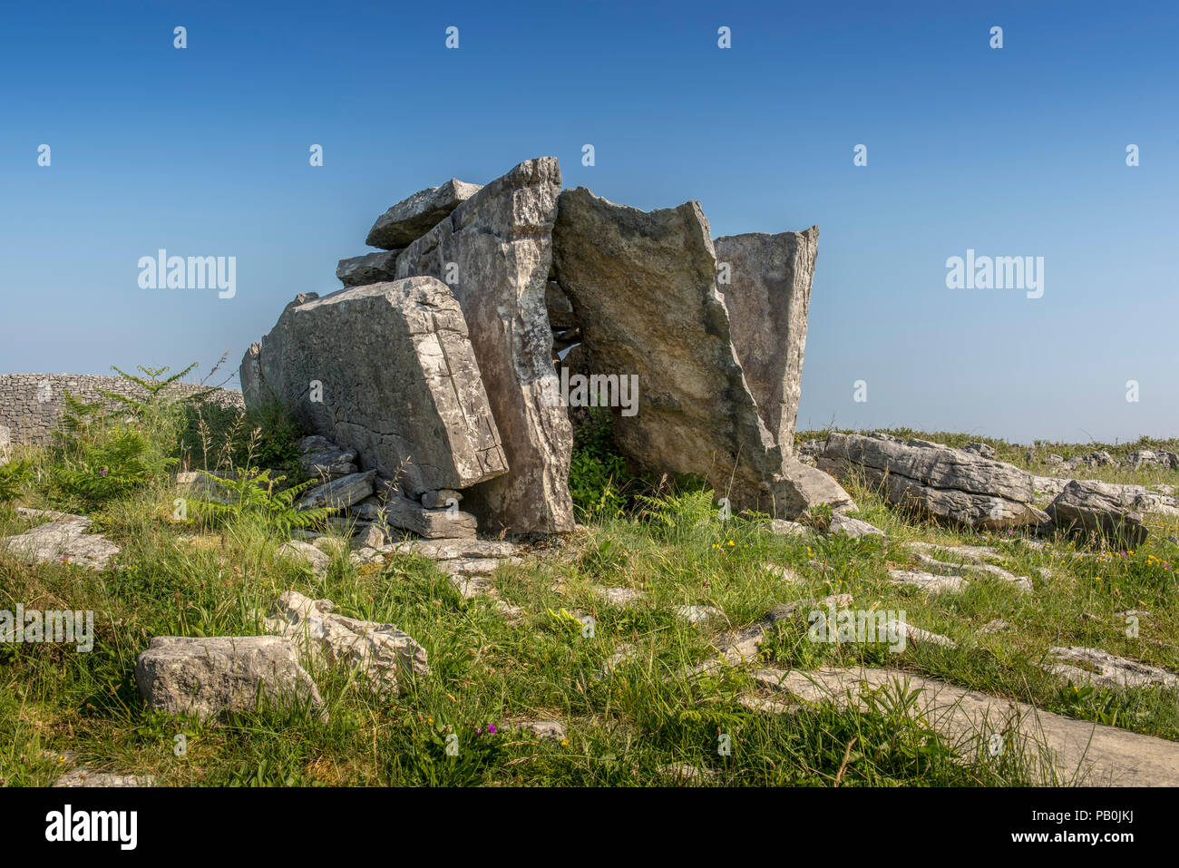 Megalithic tomb in Eochaill (bar. Árainn)Megalithic tomb · 482 yd
Explorer Tom Megalithic tomb in Eochaill has had more names than I have exes, and none of them stuck. It’s been waiting for someone…
 Inscribed stone in Cill MhuirbhighInscribed stone · 600 yd
Explorer Tom Inscribed stone in Cill Mhuirbhigh has been sitting there since 1838, grumbling about the weather like a retired uncle…
 Kilmurvey BeachBeach / strand · 978 yd
Explorer Tom Kilmurvey Beach curves along the north coast of Inis Mór, offering pale sand, clear Atlantic water and an island view…
 ÁrainnIsland · 1.2 mi
Explorer Tom Call Árainn by the map's other name and it may forgive you eventually. Árainn has been called Inishmore so often that…
More archaeology and monuments in County Galway · All of County Galway

What do you know about this place?Tap to add a comment or ask a question