What is recorded here
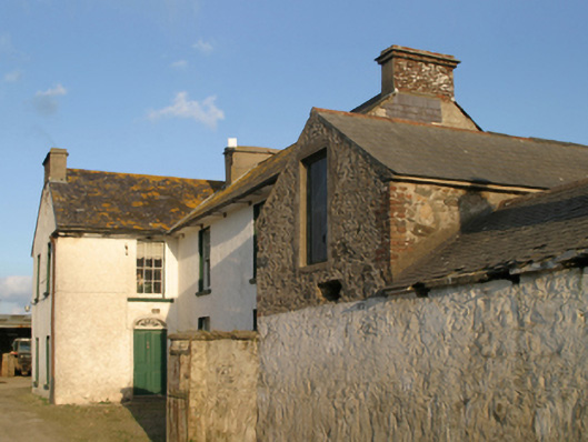
Detached three-bay two-storey farmhouse, extant 1854, on an L-shaped plan with single-bay two-storey gabled projecting end bay. Occupied, 1911. Pitched slate roof on an L-shaped plan with lichen-covered ridge tiles terminating in rendered red brick Running bond chimney stacks having chamfered stringcourses below capping, and cast-iron rainwater goods on slightly overhanging rendered slate flagged eaves retaining cast-iron octagonal or ogee hoppers and downpipes. Limewashed rendered walls; slate hung surface finish to side (west) elevation. Segmental-headed door opening with cut-granite step threshold, and concealed dressings framing timber panelled double doors having fanlight. Square-headed window openings with cut-granite sills, and concealed dressings framing six-over-six timber sash windows. Set in shared grounds with rendered cylindrical piers to courtyard having shallow domed capping supporting arrow head-detailed wrought iron double gates.
A farmhouse representing an integral component of the mid nineteenth-century domestic built heritage of south County Wexford with the architectural value of the composition, one erected by Patrick Lambert (d. 1869) on a plot jointly leased with the Pettits (cf. 15704863), suggested by such attributes as the angular plan form; the uniform or near-uniform proportions of the openings on each floor; and the slightly oversailing roofline. Having been well maintained, the elementary form and massing survive intact together with substantial quantities of the original fabric, both to the exterior and to the interior, thus upholding the character or integrity of the composition. Furthermore, adjacent outbuildings (extant 1903) continue to contribute positively to the group and setting values of a self-contained ensemble having long-standing connections with the Lambert family (NA 1901; NA 1911).
This does not grant access. Most recorded buildings are privately owned; view them only from public ground unless the owner allows entry.
Places near here
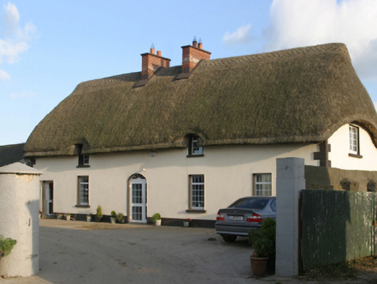 farm housefarm house · 50 yd
 Enclosure in Summertown (forth By., St. Margaret's Par.)Enclosure · 555 yd
 Enclosure in BallareEnclosure · 833 yd
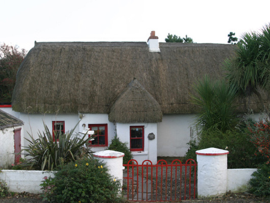 Ceann Tuífarm house · 888 yd
 Lady's IslandVisitor information · 1117 yd
 TowerBawn · 1205 yd
 ScargeenIsland · 1573 yd
 Shernock Hill/Knocks HillMountain / peak · 1661 yd
 Site of CastleCastle, unclassified · 1.1 mi
 Carne BeachBeach / strand · 1.3 mi
 InishIsland · 1.3 mi
 Lifeboat MemorialMemorial · 1.4 mi
Other information
Photo: National Inventory of Architectural Heritage · Website use allowed for educational or private purposes with source credit