
What is recorded here
Falkirk, Camelon Ironworks is iron works in Falkirk, Scotland.
Places near here
Photo credits
- Paul McIlroy, Wikimedia Commons · CC BY-SA 2.0
- Richard Webb, Wikimedia Commons · CC BY-SA 2.0
- JThomas, Wikimedia Commons · CC BY-SA 2.0
- Maker not stated on source page, commons.wikimedia.org
- Maker not stated on source page, www.pinterest.com
- Mark Begbie, Wikimedia Commons · CC BY-SA 4.0
- John Lord, Wikimedia Commons · CC BY-SA 2.0
- Stephen Craven, Wikimedia Commons · CC BY-SA 2.0
- Maker not stated on source page, www.stravaiging.com
 Forth and Clyde Canal, Camelon WharfWharf · 818 yd
 Falkirk, Anson Avenue, Forth and Clyde Canal, LockLock (post Medieval) · 823 yd
 Falkirk, Glenfuir Road, Forth and Clyde Canal, LockLock (post Medieval) · 951 yd
 FalkirkCoin(s) (roman) · 1121 yd
 Falkirk, Cow Wynd, the Tattie Kirk GraveyardCemetery (19th Century) · 1181 yd
 Mapped cemeteryCemetery · 1184 yd
 Town Heritage Trail : The Tattie KirkVisitor information · 1205 yd
 East Bridge StreetVisitor information · 1254 yd
 Falkirk, Callendar ParkNo Class (event) · 1473 yd
 Bellsmeadow ParkPark · 1552 yd
 Falkirk, LadysmillNo Class (event) · 1665 yd
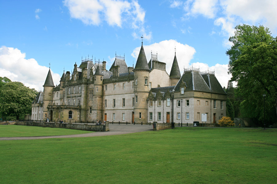 The CastleChildren's playground · 1.2 mi
More archaeology and monuments in Falkirk · All of Falkirk

What do you know about this place?Tap to add a comment or ask a question