What is recorded here
Thirty-six metres of ancient stone circle a quiet pasture above Lough Allua, preserving a boundary where human ingenuity met relentless water. The southern wall holds firm against the sloping earth while sloe bushes choke the interior, suggesting the lake once swallowed the lower half and retreated only recently. A raised passage may have linked this cashel to a neighbouring crannog, creating a dry bridge across hostile marsh for people who refused to drown in their own neighbourhood.
In pasture, on gentle SSE-facing slope, overlooking Lough Allua. Roughly circular area (36m N-S) defined by stone wall (int. H 0.5m; ext. H 0.6m). Break in wall to S. Interior raised slightly on S side to compensate for hillslope; northern half level; southern half slopes down to S and is overgrown with sloe bushes. Lunham (1909, 22) noted 'passage raised above the level of the lake's bed' leading from crannog (CO081-012----) to cashel.
The above description is derived from the published 'Archaeological Inventory of County Cork. Volume 3: Mid Cork' (Dublin: Stationery Office, 1997). In certain instances the entries have been revised and updated in the light of recent research.
Date of upload/revision: 14 January 2009
The monument record does not grant public access. Check the route and ask the landowner before entering private land.
- What survives
- Recorded monument
Places near here
 Fulacht fia in TurnaspidogyFulacht fia · 1164 yd
 Megalithic structure in CoornahahillyMegalithic structure · 1.1 mi
 Mass-house in Na CurraitheMass-house · 1.4 mi
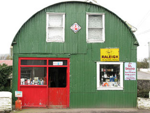 shop/retail outletshop/retail outlet · 1.9 mi
 Mount ProspectMountain / peak · 2.6 mi
 CarriganineMountain / peak · 2.7 mi
 Carrignacurra CastleCastle · 2.9 mi
 Gortnahoughtee Mass RockNamed rock · 3.0 mi
 Port Ban Nature Reserve, Irish Wildlife TrustNature reserve · 3.4 mi
 Castle (Site of)Castle, unclassified · 4.6 mi
 European long distance path E8 - part IrelandWalking route · 4.6 mi
 Sli Gaeltacht MuscraiWalking route · 4.7 mi