What is recorded here
No visible wall remains at the east where a later field cut through the old ring, but the vanished edge still shadows the pasture. The lost fort may have stood as a boundary marker, a refuge, or a household centre before its stones scattered into other walls. A shed now leans against the south side, treating the ancient ring as an ordinary support for modern tools.
On a gentle rise in pastureland. Poorly preserved circular cashel (diam. 28m) defined by a collapsed drystone wall overlain by a field wall. No visible surface trace of the enclosing element survives at E where another field wall cuts through the monument. A shed has been built against the cashel at S.
Compiled by: Galway Archaeological Survey, UCG
Date of upload: 26 April 2018
The monument record does not grant public access. Check the route and ask the landowner before entering private land.
- What survives
- Recorded monument
Places near here
 EnclosureEnclosure, large enclosure · 837 yd
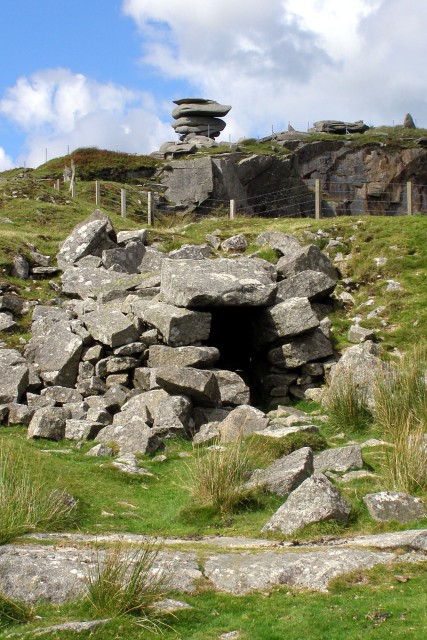 CaveMan-made underground passage · 1582 yd
 Maryville Househouse · 1.0 mi
 farm housefarm house · 1.1 mi
 Castle in ruinsCastle, unclassified · 1.9 mi
 Dungory Castle (in ruins)Castle, tower house · 2.1 mi
 Drumharsna CastleHeritage attraction · 2.4 mi
 Coole-Garryland Nature ReserveNature reserve · 2.7 mi
 European BeechEuropean Beech · 2.8 mi
 Mulroney's IslandIslet · 3.3 mi
 Cusheen IslandIslet · 3.6 mi
 Grave of Saint Mac Duagh's ServantArchaeological place · 5.2 mi