
What is recorded here
On a NE-facing slope in undulating pastureland. This poorly preserved and heavily overgrown subrectangular enclosure (c. 97m NE-SW; c. 76m NW-SE) is defined by a drystone wall which is traceable only as a low stony mound incorporated into the present field boundaries. The interior is subdivided by a number of field walls and it is densely overgrown with briars and thorn bushes.
Compiled by: Galway Archaeological Survey, UCG
Date of upload: 13 December 2017
The monument record does not grant public access. Check the route and ask the landowner before entering private land.
- What survives
- Recorded monument
Places near here
 CavesMan-made underground passage · 1213 yd
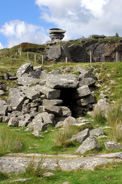 CaveMan-made underground passage · 1273 yd
 Mine in CaherglassaunMine · 1455 yd
 Maryville Househouse · 1475 yd
 Castle in ruinsCastle, unclassified · 1.7 mi
 Coole-Garryland Nature ReserveNature reserve · 2.3 mi
 European BeechEuropean Beech · 2.3 mi
 Drumharsna Castle (in ruins)Castle, tower house · 2.4 mi
 Drumharsna CastleHeritage attraction · 2.4 mi
 Mulroney's IslandIslet · 3.8 mi
 Cusheen IslandIslet · 4.1 mi
 Kilmacduagh Monastic SiteVisitor information · 4.6 mi
Other information
Photo: Credit not shown in the picture search · Rights wording not checked; contact us if this picture should be removed