
What is recorded here
Within the SW quadrant of a rath (GA113-025----). Two ‘Caves’ shown on the OS 6-inch maps proved on inspection to be two access points to the same poorly preserved drystone-built Man-made underground passage (L >21m). Only the westernmost access point, a displaced roof lintel, is now open; the eastern one has been covered over. At ground level the Man-made underground passage is visible as a roughly L-shaped depression. The long passage (L 13m; Wth 1.75m; H 1.3m) runs WNW-ESE. At the W end of NW side-wall an air vent is evident. The short passage (L 8m) extends off the E end this side-wall and runs NNE-SSW. Most of the latter passage has collapsed, as has the junction between both passages.
Compiled by: Galway Archaeological Survey, UCG
Date of upload: 5 January 2017
The monument record does not grant public access. Check the route and ask the landowner before entering private land.
- What survives
- Recorded monument
Places near here
 Lackmacmahon Stone CrossCross · 526 yd
 Enclosure in Crannagh (kiltartan Ed)Enclosure · 905 yd
 Maryville Househouse · 1146 yd
 Mine in CaherglassaunMine · 1.0 mi
 European BeechEuropean Beech · 1.7 mi
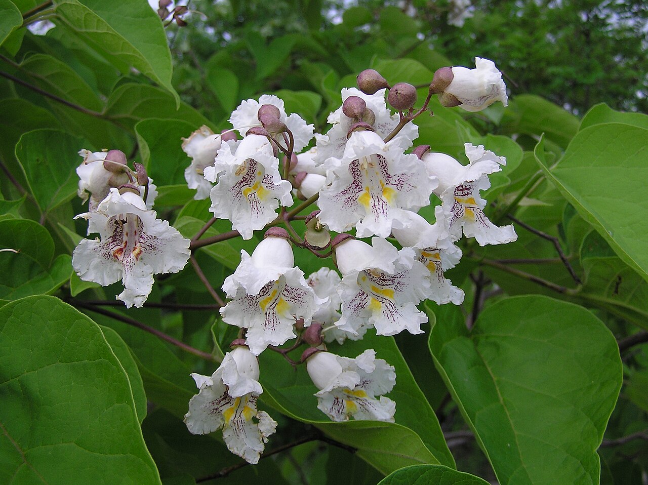 Southern catalpaSouthern catalpa · 1.7 mi
 Castle in ruinsCastle, unclassified · 2.1 mi
 Ballymaquiff CastleCastle · 2.3 mi
 Drumharsna CastleHeritage attraction · 2.3 mi
 Mulroney's IslandIslet · 4.4 mi
 Kilmacduagh Monastic SiteVisitor information · 4.5 mi
 Kilmacduagh MonasteryHeritage attraction · 4.6 mi
Other information
Photo: Credit not shown in the picture search · Rights wording not checked; contact us if this picture should be removed