What is recorded here
Marianne and I walked to the broken stone circle at Tooreen East, where two collapsed walls still draw a twenty-six metre ring above the rock. We sat in the wide berm between them, listening to wind move through the eastern gap until the shape felt less like ruin and more like a room waiting for someone to remember how to use it.
On a hillock in partially reclaimed rock outcrop. Poorly preserved circular cashel (diam. 26m)defined by two much-collapsed drystone walls separated by a wide berm (Wth 4m). Both the inner (Wth 1.45m; int. H 0.75m; ext. H 1.2m) and outer (Wth 1.3m; int. H 0.5m; ext. H 0.9m) walls are mainly reduced to a collapsed spread of stone and few inner or outer facing-stones survive. A stone-lined gap (Wth 1.7m) at ESE appears to be original. A trackway (GA113-195----) skirts the monument at ESE. To the S two rectangular fields (L 35m; Wth 15m) may be associated with the cashel. (CUCAP AHJ 19)
Compiled by: Galway Archaeological Survey, UCG
Date of upload: 25 April 2018
The monument record does not grant public access. Check the route and ask the landowner before entering private land.
- What survives
- Recorded monument
Places near here
 IndicatedFairy fort / stone ringfort · 527 yd
 CrossCross · 695 yd
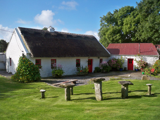 Rose Cottagehouse · 1415 yd
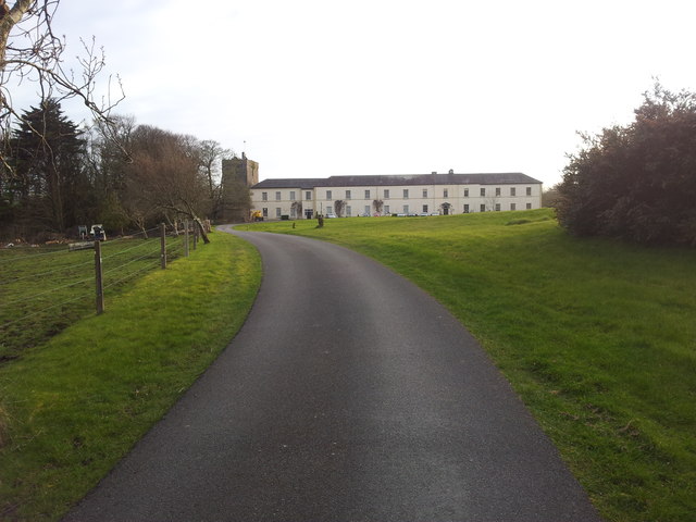 Cloghballymore Ho.House, 18th/19th century · 1733 yd
 Mulroney's IslandIslet · 1.4 mi
 Dungory Castle (in ruins)Castle, tower house · 1.5 mi
 Dunguaire CastleCastle · 1.5 mi
 Cusheen IslandIslet · 1.6 mi
 Drumacoo Monastic SiteHeritage attraction · 2.5 mi
 Traught BeachBeach / strand · 3.0 mi
 Mweenish PointHeadland · 3.6 mi
 Kilcornan ForestWood · 5.0 mi