What is recorded here
On a gentle rise in Tooreen East, a subcircular cashel stretches twenty-seven metres across rough pastureland. Two collapsed drystone walls form its boundary, separated by a wide berm that widens toward the west. Field walls now cut through the ancient structure, marking how human needs have repeatedly claimed the space the fairies supposedly kept.
On a gentle rise in rough pastureland. Poorly preserved subcircular cashel (E-W 27m) defined by two collapsed drystone walls that are visible except from S to SSW. The walls are separated by a berm, which varies in width from 4.5m at E to 8m at W. The inner wall (Wth 2.5m; int. H 0.4m; ext. H 0.5m) is best preserved from NNW to NNE; a field wall abuts its outer wall-face from SSW to NNW. This wall then runs off in a NW direction, cutting across the outer wall. A field wall overlies the outer wall (Wth 2m; H 0.25m) from NNE to SSE and another field wall cuts through the monument from NNE to S. (CUCAP AHJ 24)
Compiled by: Galway Archaeological Survey, UCG
Date of upload: 25 April 2018
The monument record does not grant public access. Check the route and ask the landowner before entering private land.
- What survives
- Recorded monument
Places near here
 CrossCross · 410 yd
 IndicatedFairy fort / stone ringfort · 820 yd
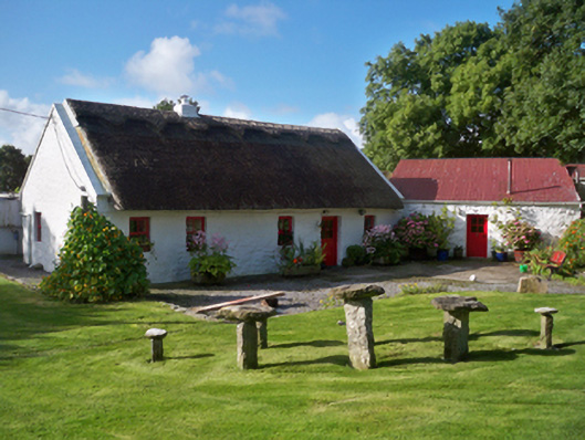 Rose Cottagehouse · 1289 yd
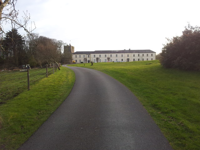 Cloghballymore Ho.House, 18th/19th century · 1400 yd
 Mulroney's IslandIslet · 1.6 mi
 Dungory Castle (in ruins)Castle, tower house · 1.7 mi
 Dunguaire CastleCastle · 1.7 mi
 Cusheen IslandIslet · 1.8 mi
 Drumacoo Monastic SiteHeritage attraction · 2.4 mi
 Traught BeachBeach / strand · 3.1 mi
 Mweenish PointHeadland · 3.5 mi
 Kilcornan ForestWood · 4.8 mi