What is recorded here
Situated on a gentle SE-facing slope and described as a circular area defined by a stone spread (Gannon 1971-2). It is not visible at ground level in a coniferous forest. Rath (RO003-026----) is c. 140m to the NE.
Compiled by: Michael Moore
Date of upload: 24 August 2010
The monument record does not grant public access. Check the route and ask the landowner before entering private land.
- What survives
- Recorded monument
Places near here
 MoatCastle, motte · 1225 yd
 IndicatedBawn · 1301 yd
 The CopseWood · 1397 yd
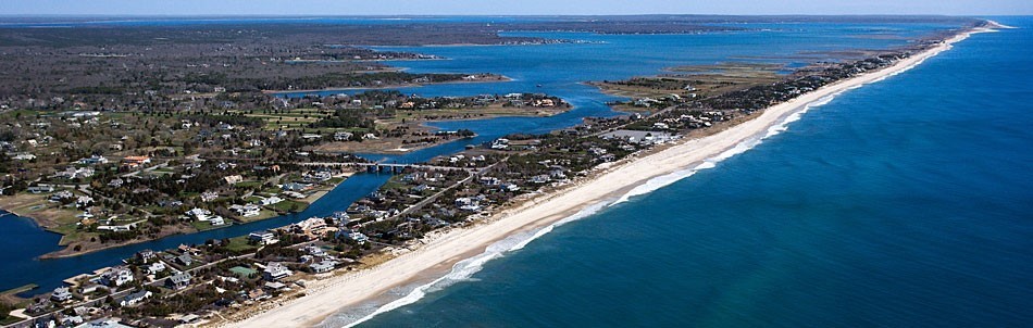 Long IslandIslet · 1557 yd
 Sweat Ho.Sweathouse · 1731 yd
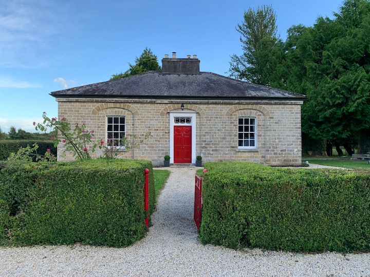 Enclosure in AghagowlaEnclosure · 1.3 mi
 Stag IslandIslet · 1.3 mi
 Church in AghanaghChurch · 1.7 mi
 Bothar an Iarla Ruaidh or the Red Earls RoadRoad, road/trackway · 1.8 mi
 Battle of the Curlew Mountains (1599)Battlefield · 2.2 mi
 Battle of Curlew PassMajor battlefield · 2.2 mi
 Smutternagh WoodWood · 2.4 mi