What is recorded here
Marianne and her children watched the camera feed from the kitchen, waiting for the red dot to move. When the shadow detached itself from the garden wall, Marianne stopped breathing. The child camera showed the garden empty, but the wall camera showed a man climbing through the gap in the bricks. She called the police before she answered the door.
In undulating pasture, 250m N of hillfort (MA118-098----). Subrectangular area (19m N-S; 16m E-W), enclosed by foundations of ruined stone wall.
The above description has been derived from D. Lavelle (compiler), An Archaeological Survey of Ballinrobe and District including Lough Mask and Lough Carra. Lough Mask and Lough Carra Tourist Development Association (1994), No. 297.
Date of upload: 3 February 2014
The monument record does not grant public access. Check the route and ask the landowner before entering private land.
- What survives
- Recorded monument
Places near here
 LisnatreanduffHilltop enclosure · 307 yd
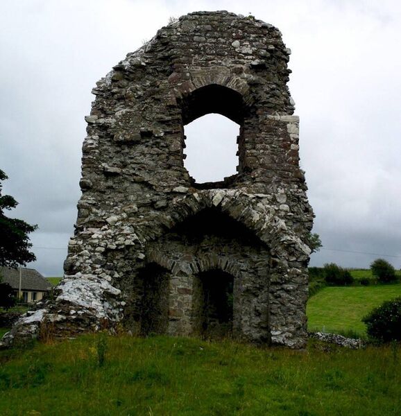 Castle in ruinsCastle, unclassified · 419 yd
 Enclosure in Thomastown (kilmaine By., Kilmainemore Par.)Enclosure · 423 yd
 Church in ruinsChurch · 1.1 mi
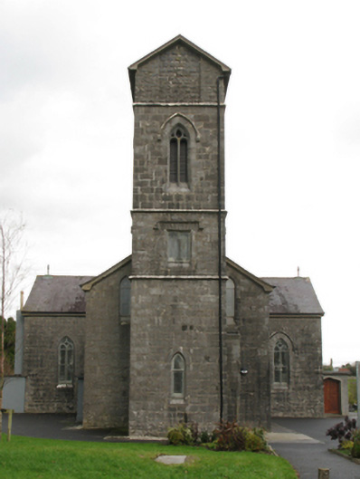 Saint Patrick's Catholic Churchchurch/chapel · 1.4 mi
 Bawn in Kilquire LowerBawn · 1.5 mi
 European ashEuropean ash · 3.5 mi
 SycamoreSycamore · 4.0 mi
 LabbadermotCave · 4.3 mi
 Gibbs IslandsIslet · 5.6 mi
 Easter IslandIslet · 5.9 mi
 School of FalconryHeritage attraction · 6.8 mi