What is recorded here
Fairy fort / stone ringfort in Tawlaght (boyle By., Killukin Ed) is a fairy fort or stone ringfort in Tawlaght (boyle By., Killukin Ed), County Roscommon, Ireland. It occupies a subcircular terrace on a northwest-facing slope, measuring 32.5 metres north-south and 28.6 metres east-west. A grass-covered stone spread defines the boundary, reaching 2.6 to 3.5 metres in width and 0.2 to 0.7 metres in height. The site has no visible entrance or facing stones along its western, northern, or southern arcs.
On a terrace of a NW-facing slope with a SW-NE stream c. 20m to the NW. Subcircular grass-covered area (dims 32.5m N-S; 28.6m E-W) defined by a grass-covered stone spread (Wth 2.6m at S to 3.5m at N; int. H 0.2-0.35m; ext. H 0.45m at S to 0.7m at E) with no visible facing-stones WSW-N-S. There is no visible entrance.
Compiled by: Michael Moore
Date of upload: 24 August 2010
The monument record does not grant public access. Check the route and ask the landowner before entering private land.
- What survives
- Recorded monument
Places near here
 IndicatedFairy fort / earthen ringfort · 312 yd
 Embanked enclosureFairy fort / earthen ringfort · 541 yd
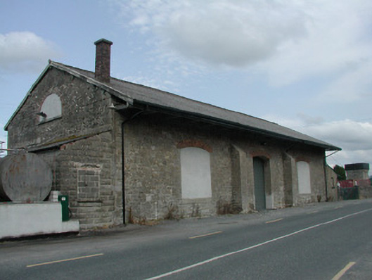 Carrick-on-Shannon Railway Stationstore/warehouse · 1748 yd
 Church (in Ruins)Church · 1.4 mi
 Moon RiverHeritage attraction · 1.6 mi
 Hughestown WoodForest · 1.8 mi
 Castle (Site of)Castle, unclassified · 3.4 mi
 Moylung Castle (in ruins)Castle, unclassified · 4.3 mi
 Mullinashee WoodForest · 4.5 mi
 Patrick Gill Memorial Plaque (IRA)Monument · 5.0 mi
 Robert Strawbridge MemorialMemorial · 5.1 mi
 Leabaidh DermotCave · 6.1 mi