What is recorded here
Fairy fort and ringfort in Shantallow, County Mayo, Ireland. Thirty-six metres across with rounded corners, half wall and half memory. The western bank still holds its shape though stones are missing; the eastern half has gone flat under grass and time. A field wall cuts through the middle like a knife through a sentence. Inside, the ground slopes down from north to south, dropping a metre and a half before levelling into a shallow basin at the southwest. That hollow place may have held water, or shadow, or the breath of whoever stood there when the wall was new. The views stretch west across open limestone country, unbroken and cold-clean. Whatever lived inside has left no name behind, only the angle of the earth and the patience of the grass.
In gently undulating limestone grassland, straddling an E-W seam of limestone bedrock. Views are good, especially extensive to W.
Recorded in an aerial photograph (SMR file: GSI M 26 –7; Roll 205, pr. 3) as a square or subcircular enclosure crossed roughly centrally by a field wall on a N–S axis.
The outline of a roughly square enclosure (36m NW–SE; c. 36m NE–SW) with rounded corners can be discerned at ground level. It is defined on its W half by a low, sod-covered stone bank/wall (Wth c. 3.5m; int. H 0.5m; ext. H 0.3m at SW). To E of the N-S field wall which crosses the interior, the enclosure has been levelled, but the curve of the N–NE angle can still be traced.
The enclosing wall on the W half is dilapidated and varies in width, and has clearly been much disturbed and robbed out in the past. At N it appears to coincide with a natural bedrock seam. Remnants of original stone facing may survive at SW. At S–SW the wall merges with a low natural rise that extends as a roughly triangular terrace (max. dim. 11m) to SW of the enclosure.
Several sod-covered stony heaps and spreads are evident in the interior. The interior slopes down gradually from N to S, levelling out in the SW quadrant which is clear of stone and appears slightly sunken relative to the rest of the interior. The drop in interior ground level from N to S is c. 1-1.5m
Compiled by: Jane O'Shaughnessy
Date of upload: 21 December 2022
The monument record does not grant public access. Check the route and ask the landowner before entering private land.
- What survives
- Recorded monument
Places near here
 Chapel (ruin)Church · 432 yd
 IndicatedEnclosure · 460 yd
 Enclosure in BushfieldEnclosure · 693 yd
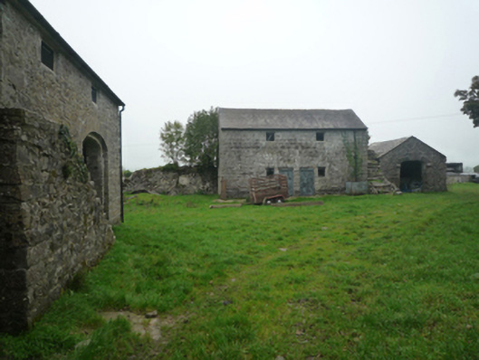 Bushfieldfarmyard complex · 1095 yd
 Castle (ruin)Castle, unclassified · 2.1 mi
 Bunacrower CastleCastle · 2.9 mi
 SycamoreSycamore · 3.7 mi
 Geoffrey's WoodForest · 4.1 mi
 Land of the GiantsHeritage attraction · 5.6 mi
 Mass RockNamed rock · 10.0 mi
 Gibbs IslandsIslet · 11 mi
 Red Island RockIslet · 12 mi