What is recorded here
Fairy fort / stone ringfort in Scregg (athlone North By.) is a fairy fort or stone ringfort in Scregg (athlone North By.), County Roscommon, Ireland. It occupies a D-shaped grass-covered area on the crest of a northwest-southeast ridge overlooking a valley to the southwest. A grass-covered stone spread about two metres wide and a slight scarp define its perimeter, while a field wall crosses the site and another rath lies about 155 metres to the east.
On the crest of a NW-SE ridge overlooking a NW-SE valley to the SW. D-shaped grass-covered area (int. dims c. 26m E-W; c. 20m N-S) defined by a grass-covered stone spread (Wth c. 2m) with some facing-stones NE-SE, and by a slight scarp SW-NE. It is cut by the perimeter of rath (RO042-094001-) SE-SW and overlain by a NW-SE field wall, from which a field wall extends off to the NE. Rath (RO042-095----) is c. 155m to the E.
Compiled by: Michael Moore
Date of upload: 24 August 2010
The monument record does not grant public access. Check the route and ask the landowner before entering private land.
- What survives
- Recorded monument
Places near here
 Embanked enclosureFairy fort / earthen ringfort · 312 yd
 CastleCastle, tower house · 707 yd
 Scregg Housecountry house · 714 yd
 Cloghogle StonePassage tomb · 970 yd
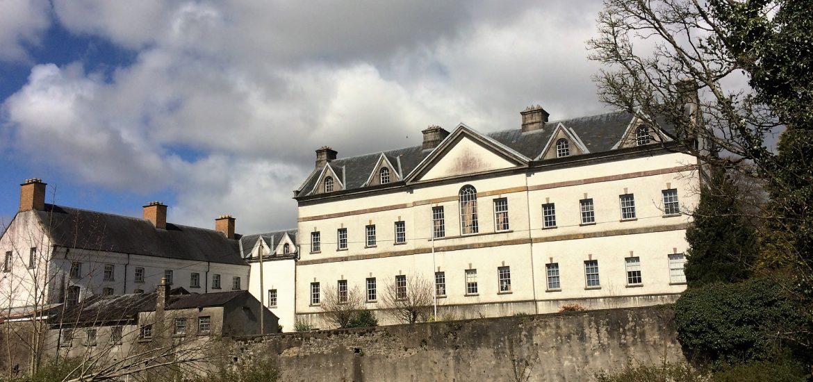 IndicatedCastle, unclassified · 1.1 mi
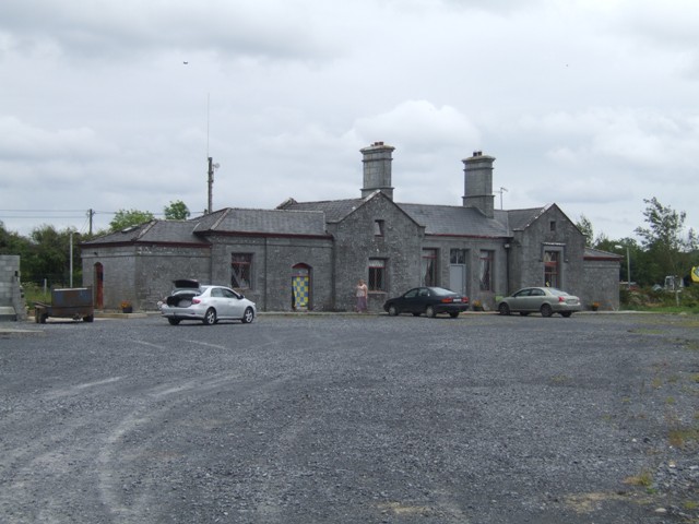 Knockcroghery Railway Stationrailway station · 1.7 mi
 Hangman's HillMountain / peak · 2.1 mi
 InchmoreIslet · 2.3 mi
 Galey BayBay · 2.6 mi
 InchihicleleyIslet · 2.6 mi
 Blackbrink BayBay · 3.0 mi
 Ballymurray ForestForest · 3.6 mi