What is recorded here
Fairy fort in Sallows, County Donegal: a 14m stone ring on a rocky rise above bog. The wall has collapsed except SE, S and SW, where stones still stand .35m high; the N edge is a faint trace. People may have lived there, or excluded them, or simply marked the border between ordinary land and the strange.
Internal Diameter c. 14m. A subcircular area originally enclosed by a, now collapsed, stone wall surviving only on the SE, S and SW sides up to .35m in height. On the N side it is just possible to trace the outline of the enclosure. It is situated on a rocky rise in low-lying boggy terrain.
The above description was derived from the 'Archaeological Survey of County Donegal. A description of the field antiquities of the County from the Mesolithic Period to the 17th century.' Compiled by: Brian Lacey with Eamon Cody, Claire Cotter, Judy Cuppage, Noel Dunne, Vincent Hurley, Celie O'Rahilly, Paul Walsh and Seán Ó Nualláin (Lifford: Donegal County Council, 1983). In certain instances the entries have been revised and updated.
Date of upload: 22 September 2008
The monument record does not grant public access. Check the route and ask the landowner before entering private land.
- What survives
- Recorded monument
Places near here
 Former Drumrone EnclosureEnclosure · 1339 yd
 Church of the Holy Redeemerchurch/chapel · 1500 yd
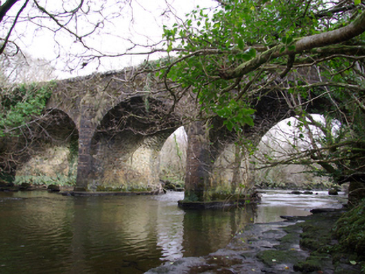 Drumagraa Bridgebridge · 1502 yd
 Tullytrasna Standing StonePublicly named standing stone · 1.2 mi
 Disert GraveyardGraveyard · 2.5 mi
 Cloghmeen HillMountain / peak · 2.5 mi
 Killin HillMountain / peak · 2.7 mi
 Dermot & Grania's BedCave · 3.5 mi
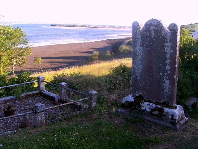 Killymard Old Church GraveyardGraveyard · 4.0 mi
 Mac Manus Estate, RossylonganForest recreation place · 4.6 mi
 Salthill GardensHeritage attraction · 4.7 mi
 Wych ElmWych Elm · 4.8 mi