What is recorded here
Fairy forts are often a cover story for ordinary human life. In Rinn, a collapsed stone wall still marks a shallow circular house on a south-facing slope. A field boundary cuts through it, proving that people kept living around the ruin long after its shape faded. The fairies may have taken the house, but human hands built and destroyed it.
On a gentle S-facing slope. Poorly preserved subcircular cashel (30.5m N-S) defined by a collapsed drystone wall. A field boundary cuts through the monument from NNW to SSE and a number of other field boundaries abut it. (McCaffrey 1952, 203, no. 87)
Compiled by: Galway Archaeological Survey, UCG
Date of upload: 13 March 2018
The monument record does not grant public access. Check the route and ask the landowner before entering private land.
- What survives
- Recorded monument
Places near here
 KnockaboyFairy fort / earthen ringfort · 789 yd
 CahermoreFairy fort / stone ringfort · 839 yd
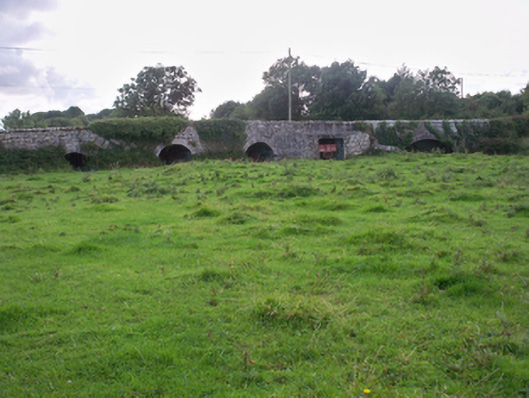 Dunkellin Bridgebridge · 1367 yd
 Dunkellin Castle (in ruins)Castle, tower house · 1368 yd
 Castlegar (in ruins)Castle, unclassified · 1.0 mi
 St. Colmans Catholic ChurchChurch · 1.3 mi
 Kilcornan ForestWood · 2.1 mi
 Kilcornan WoodWood · 2.3 mi
 Drumacoo Monastic SiteHeritage attraction · 3.6 mi
 Drumharsna CastleHeritage attraction · 4.6 mi
 Goose IslandIslet · 7.4 mi
 InishcorraIslet · 7.6 mi