What is recorded here
No visible wall remains, yet the 1838 survey marked a subcircular enclosure thirty metres across in Rathcosgry farmland. The land has swallowed the stone, erasing the boundary between human residence and fairy tale. What was built, forgotten and buried has returned to the soil, leaving only the shape of absence behind.
In farmland. Marked on the 1838 edition of the OS 6-inch map a subcircular enclosure (c. 37m E-W; c. 30m N-S). McCaffrey 1(952, 247, no. 113) recorded that it was 'Not present' during his survey. No visible surface trace survives.
Compiled by: Galway Archaeological Survey, UCG
Date of upload: 31 July 2019
The monument record does not grant public access. Check the route and ask the landowner before entering private land.
- What survives
- Recorded monument
Places near here
 IndicatedFairy fort / stone ringfort · 564 yd
 Ardnamoran ChurchChurch · 986 yd
 Enclosure in BallynamanninEnclosure · 1177 yd
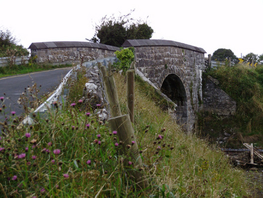 bridgebridge · 1197 yd
 Cloghroak Castle (in ruins)Castle, tower house · 1749 yd
 CarnanthomasCastle, unclassified · 1.9 mi
 Kilcornan WoodWood · 5.0 mi
 Drumharsna CastleHeritage attraction · 5.0 mi
 Kilcornan ForestWood · 5.1 mi
 MweenisharanIslet · 7.8 mi
 Mulroney's IslandIslet · 8.4 mi
 Mweenish PointHeadland · 9.0 mi