What is recorded here
Thirty-foot stones circle Rathcosgry pastureland, though field rubble and forgotten labor have blurred their edge. A hidden passage may still breathe beneath the uneven grass, waiting for someone brave enough to listen for its shape in the dark. The fort remains a quiet player in the local myth, turning ordinary ground into a room where human life and fairy tale share the same floor.
In level pastureland. Poorly preserved circular cashel (diam. 30.5m) defined by a wall that is obscured by field-clearance rubble. An E-W running field wall abuts it at N. The interior is uneven and a possible house site (GA104-248002-) lies in the E sector. McCaffrey (1952, 246, no. 111)
recorded a Man-made underground passage (GA104-248001-) but no visible surface trace of it survives.
Compiled by: Galway Archaeological Survey, UCG
Date of upload: 8 March 2018
The monument record does not grant public access. Check the route and ask the landowner before entering private land.
- What survives
- Recorded monument
Places near here
 IndicatedFairy fort / stone ringfort · 381 yd
 Ardnamoran ChurchChurch · 698 yd
 Enclosure in BallynamanninEnclosure · 847 yd
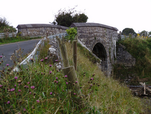 bridgebridge · 858 yd
 Cloghroak Castle (in ruins)Castle, tower house · 1.2 mi
 CarnanthomasCastle, unclassified · 1.7 mi
 Moyard WoodWood · 5.0 mi
 Kilcornan ForestWood · 5.0 mi
 Drumharsna CastleHeritage attraction · 5.2 mi
 MweenisharanIslet · 7.9 mi
 Mulroney's IslandIslet · 8.6 mi
 Mweenish PointHeadland · 9.0 mi