What is recorded here
Two walls circle a fifteen-metre chamber on the east side of Teelin Bay, forcing whoever built the fort to bend around living rock rather than break through it. The outer wall follows the inner curve with a wide gap between them, creating a narrow trap where an intruder could be seen but not easily escaped. cattle still walk the rough pasture above the stones, unaware that the ground beneath their hooves once decided whether a family kept its life or lost it to the bay.
Internal diam. 15m. A circular area enclosed by two widely spaced walls. Sections of wall facing are visible in both walls. The outer wall is roughly concentric with the inner wall and incorporates some sections of rock outcrop. The site is located on the E side of Teelin Bay in undulating land, fair to rough pasture with some rock outcrop.
The above description was derived from the 'Archaeological Survey of County Donegal. A description of the field antiquities of the County from the Mesolithic Period to the 17th century.' Compiled by: Brian Lacey with Eamon Cody, Claire Cotter, Judy Cuppage, Noel Dunne, Vincent Hurley, Celie O'Rahilly, Paul Walsh and Seán Ó Nualláin (Lifford: Donegal County Council, 1983). In certain instances the entries have been revised and updated.
Date of upload: 22 September 2008
The monument record does not grant public access. Check the route and ask the landowner before entering private land.
- What survives
- Recorded monument
Places near here
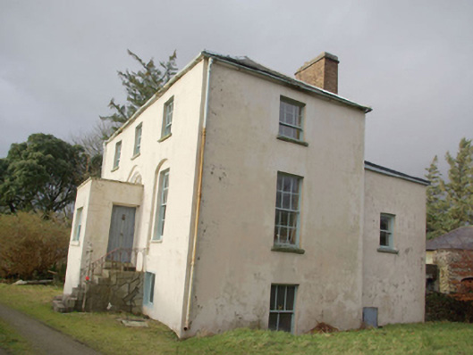 Roxborough Eaglais na hÉireann Reachtaireachtrectory/glebe/vicarage/curate's house · 422 yd
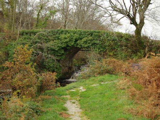 Droichead an Charraig Íochtarachbridge · 999 yd
 Doire Leathan Coastal Promontory FortPromontory fort, coastal · 1.1 mi
 Mass-rock in Doire LeathanMass-rock · 1.1 mi
 Cliffs at TeelinPublicly named cliff or headland · 1.4 mi
 Dundawoona Point / Pointe an DúinHeadland · 1.8 mi
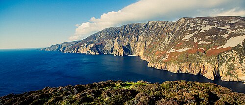 Slieve LeagueViewpoint · 2.2 mi
 International Appalachian Trail Ulster-IrelandWalking route · 2.3 mi
 Slieve League SE TopMountain / peak · 2.4 mi
 CroaghmuckrosMountain / peak · 2.6 mi
 TraloarBeach / strand · 2.8 mi
 TrabaneBeach / strand · 3.1 mi