What is recorded here
Dense thorns and forgotten rubble strangle the oval cashel, hiding most of its perimeter from human eyes. The ground still holds a children's burial ground, proving the site remained sacred long after its walls collapsed. What looks like abandonment may be transformation, with the fort returning its shape to the living land rather than disappearing.
In undulating reclaimed pastureland. Very poorly preserved oval cashel (38m N-S) defined by a wall (Wth 2.5m; base Wth, including field-clearance material, 8.9m; int. H 1.4m; ext. H 1.5m) that is obscured by field-clearance rubble which has been piled against its external wall-face. Due to dense overgrowth the entire perimeter of the monument was not visible or accessible. Two roughly N-S running field walls bisect the monument at NNW and SSW, and at NNE and E. There is a children’s burial ground (GA103-150001-) in the E sector of the interior. (McCaffrey 1952, 200, no. 113)
Compiled by: Galway Archaeological Survey, UCG
Date of upload: 27 February 2018
The monument record does not grant public access. Check the route and ask the landowner before entering private land.
- What survives
- Recorded monument
Places near here
 Church in Mulroog WestChurch · 56 yd
 Enclosure in Mulroog WestEnclosure · 1106 yd
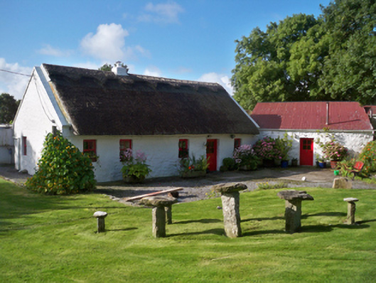 Rose Cottagehouse · 1443 yd
 IllananireyIslet · 1499 yd
 Fiddaun IslandIslet · 1.2 mi
 Enclosure in DoorusEnclosure · 1.2 mi
 CastleCastle, unclassified · 1.6 mi
 Drumacoo Monastic SiteHeritage attraction · 1.9 mi
 Mweenish PointHeadland · 2.0 mi
 Traught BeachBeach / strand · 2.0 mi
 Ballynacourty Court (in ruins)Castle, hall-house · 2.3 mi
 Plumbtree FortArchaeological place · 3.6 mi