What is recorded here
Half drowned in Lough Anna, the stone ring keeps its shape beneath the surface. The wall still rises one metre above the water, broad enough to bar a cart or a child, while a southern gap invites entry into the middle dark. People called it a fairy fort because the lake owns it now, but the clean line of the stones suggests human hands built it before the water climbed.
Internal diam. c. 36m. A natural island in Lough Anna is partially submerged. It appears to have been enclosed by a stone wall which now survives 1.3m above water level and is 2.6m wide. To the S is an entrance gap 2.6m wide.
The above description was derived from the 'Archaeological Survey of County Donegal. A description of the field antiquities of the County from the Mesolithic Period to the 17th century.' Compiled by: Brian Lacey with Eamon Cody, Claire Cotter, Judy Cuppage, Noel Dunne, Vincent Hurley, Celie O'Rahilly, Paul Walsh and Seán Ó Nualláin (Lifford: Donegal County Council, 1983). In certain instances the entries have been revised and updated.
Date of upload: 22 September 2008
The monument record does not grant public access. Check the route and ask the landowner before entering private land.
- What survives
- Recorded monument
Places near here
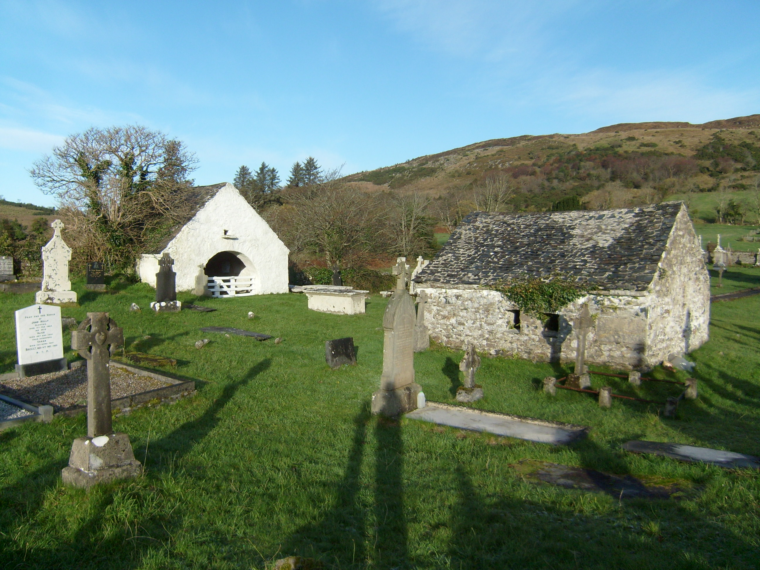 mausoleummausoleum · 1.1 mi
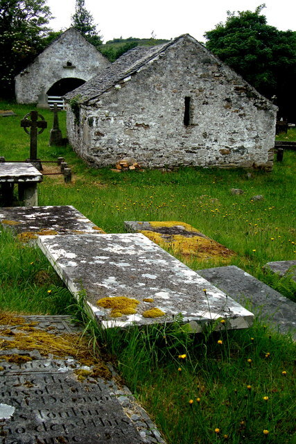 Inishkeel Graveyard near GlentiesGraveyard · 1.1 mi
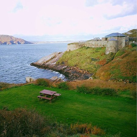 Drumnasillagh Inland Promontory FortPromontory fort, inland · 1.4 mi
 Dermot & Grania's BedArchaeological place · 1.7 mi
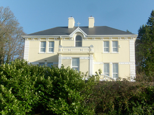 St. Columba’s Catholic Presbyterypresbytery/parochial/curate's house · 2.0 mi
 St. Connell's Museum and Heritage CentreMuseum · 2.1 mi
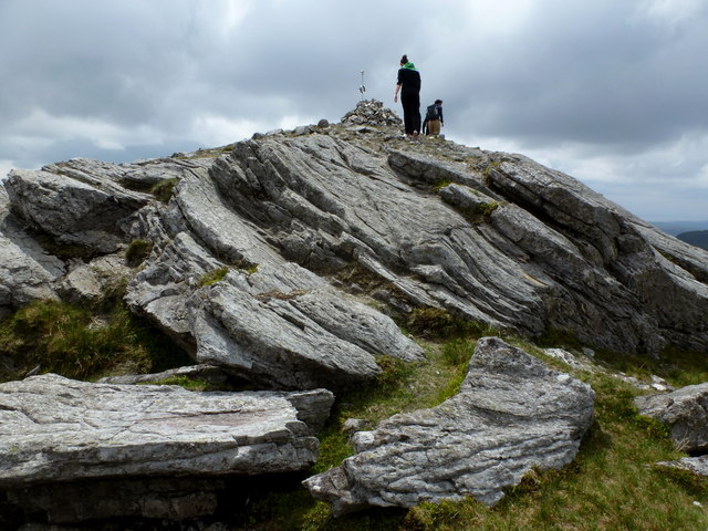 CarnaweenMountain / peak · 2.7 mi
 Cloghmeen HillMountain / peak · 3.1 mi
 Disert GraveyardGraveyard · 3.8 mi
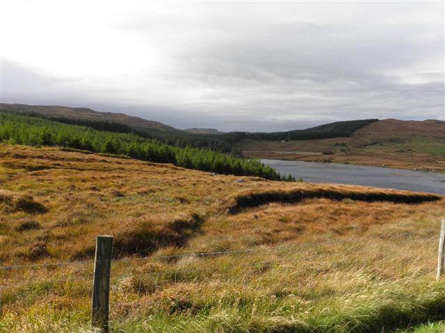 Derkmore Wood Nature ReserveNature reserve · 4.5 mi
 Wych ElmWych Elm · 5.3 mi
 Bonny Glen Wood - Bonny Glen walkOfficial walking route · 7.5 mi