
What is recorded here
Málainn Mhóir holds a broken stone ring nineteen metres wide, its wall collapsed to forty-six centimetres above the cutaway bog. Two field walls still pull south and west from the cashel, marking the edge of a home that stopped being useful long before it stopped existing. The stones did not leave a palace or even a clear doorway. They left a circle, which is either honesty or the beginning of a story someone forgot how to finish.
Internal diam. 19.8m. An almost circular area enclosed by a much collapsed stone wall up to 1.2m in width and up to .46m high. Two field walls run from the cashel wall one to the S and another to the WNW. The cashel is located in an area of cutaway bog at the base of the slope on the S side of Malin More valley.
The above description was derived from the 'Archaeological Survey of County Donegal. A description of the field antiquities of the County from the Mesolithic Period to the 17th century.' Compiled by: Brian Lacey with Eamon Cody, Claire Cotter, Judy Cuppage, Noel Dunne, Vincent Hurley, Celie O'Rahilly, Paul Walsh and Seán Ó Nualláin (Lifford: Donegal County Council, 1983). In certain instances the entries have been revised and updated.
Date of upload: 22 September 2008
The monument record does not grant public access. Check the route and ask the landowner before entering private land.
- What survives
- Recorded monument
Places near here
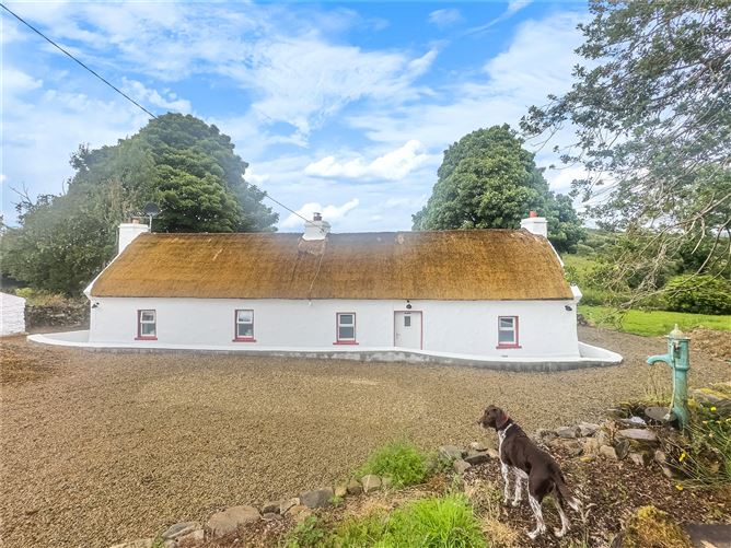 Enclosure in Málainn MhóirEnclosure · 250 yd
 Malin More Portal TombsPortal tomb · 445 yd
 Droichead Crimlinbridge · 1.3 mi
 An Trá Bheag (Trá Bheag an Ghleanna)Beach / strand · 1.5 mi
 Rossan PointHeadland · 1.5 mi
 Glencolmcille Folk VillageMuseum · 1.6 mi
 Silver Strand ViewpointViewpoint · 1.8 mi
 An Trá BhánBeach / strand · 1.8 mi
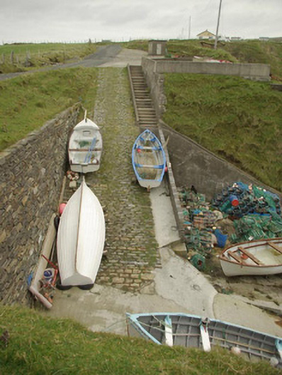 quay/wharfquay/wharf · 1.9 mi
 Glencolmcille Old GraveyardGraveyard · 2.3 mi
 Rathlin O'Birne IslandIslet · 3.0 mi
 An EibhearIslet · 3.2 mi
Other information
Photo: Credit not shown in the picture search · Rights wording not checked; contact us if this picture should be removed