What is recorded here
Twenty-nine metres of collapsed stone circle the ridge above Malin More, preserving a thin layer of limpets and periwinkles within peat and charcoal. That small kitchen residue suggests people cooked, argued, loved and forgot the address while heather swallowed the wall. The forgotten underground passage may be invention, but the seashells leave no room for doubt about the hands that lived there.
An almost circular area enclosed by a totally collapsed stone wall, internal diameter 14m and external diameter 29.6m. A layer of limpets and periwinkles in a peat/charcoal soil can be seen under the wall in the ESE. In the NE quadrant the wall has been encroached upon by a covering of peat and heather. There is a tradition of a Man-made underground passage (DG089-009002-) in or near this cashel but this could not be substantiated. The site is located on an ESE-WNW ridge of poor land over-looking Malin More valley.
The above description was derived from the 'Archaeological Survey of County Donegal. A description of the field antiquities of the County from the Mesolithic Period to the 17th century.' Compiled by: Brian Lacey with Eamon Cody, Claire Cotter, Judy Cuppage, Noel Dunne, Vincent Hurley, Celie O'Rahilly, Paul Walsh and Seán Ó Nualláin (Lifford: Donegal County Council, 1983). In certain instances the entries have been revised and updated.
Date of upload: 22 September 2008
The monument record does not grant public access. Check the route and ask the landowner before entering private land.
- What survives
- Recorded monument
Places near here
 Malin More Portal TombsPortal tomb · 211 yd
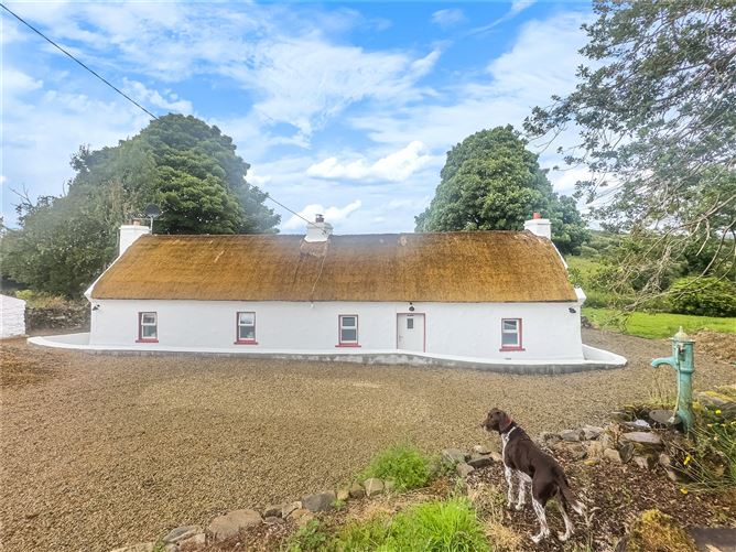 Enclosure in Málainn MhóirEnclosure · 463 yd
 Droichead Crimlinbridge · 1.1 mi
 Rossan PointHeadland · 1.5 mi
 Silver Strand ViewpointViewpoint · 1.6 mi
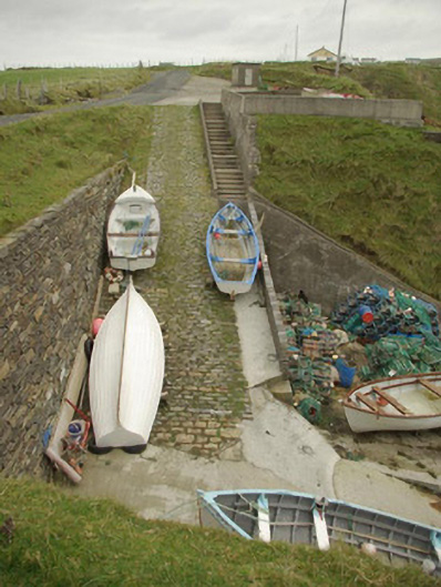 quay/wharfquay/wharf · 1.6 mi
 An Trá BhánBeach / strand · 1.6 mi
 An Trá Bheag (Trá Bheag an Ghleanna)Beach / strand · 1.8 mi
 Glencolmcille Folk VillageMuseum · 1.9 mi
 Glencolmcille Old GraveyardGraveyard · 2.6 mi
 Rathlin O'Birne IslandIslet · 2.7 mi
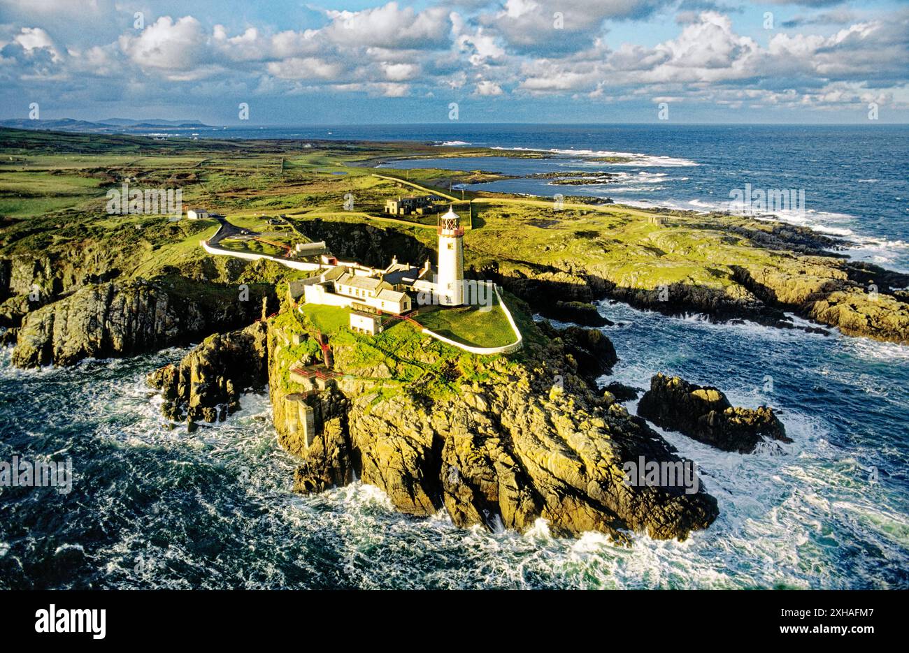 An EibhearIslet · 2.9 mi