What is recorded here
Fairy fort / stone ringfort in Lugnamackan is a fairy fort or stone ringfort in Lugnamackan, County Sligo, Ireland. It is a circular grass-covered area with a collapsed stone wall near the top of a gentle slope. Another cashel touches its southeast edge, and Wood-Martin mentioned it as one of three raths in a trefoil arrangement.
In pasture, near the top of a gentle S-facing slope and adjoining another cashel (SL020-197008-) to E. A circular area (int. diam. 18.8m N-S; 19.1m E-W) defined by a collapsed grass-covered stone wall (int. H 0.6m; ext. H 0.5m). The spread of the collapsed wall is widest (Wth 6m) SE-SW where it faces a natural scarp and narrowest (Wth 2.4m) at ESE where only a narrow fosse (Wth 0.6m) separates it from the bank of the adjoining cashel. There is a possible entrance (Wth 1m) at ESE. The interior is under pasture and slopes gently down to SE. Cultivation ridges, visible in an aerial photograph (CUCAP, BGM 35) taken in 1971, are not visible at ground level. A possible cashel (SL020-197009-) abuts the SE edge. Mentioned by Wood-Martin (1882, 21) as one of three raths in a 'trefoil arrangement'.
The above description is derived from the published 'Archaeological Inventory of County Sligo' compiled by Ursula Egan, Elizabeth Byrne, Mary Sleeman with Sheila Ronan and Connie Murphy (Dublin Stationery Office, 2005).
Date of upload: 18 January 2008
The monument record does not grant public access. Check the route and ask the landowner before entering private land.
- What survives
- Recorded monument
Places near here
 IndicatedEnclosure · 352 yd
 Enclosure in BleachgreenEnclosure · 868 yd
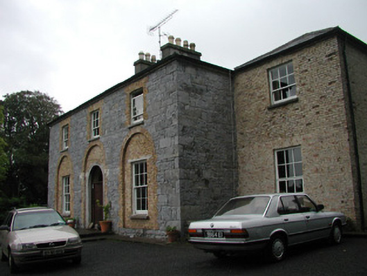 Glebe Houserectory/glebe/vicarage/curate's house · 937 yd
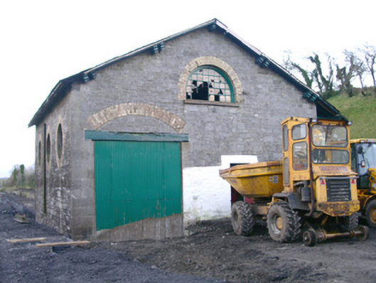 Collooney Railway Stationstore/warehouse · 941 yd
 Teeling MonumentMemorial · 999 yd
 Battle of Collooneybattle · 1008 yd
 BunreecoillMountain / peak · 1379 yd
 SlievewardMountain / peak · 1.2 mi
 Union RockForest · 1.5 mi
 European ashEuropean ash · 1.6 mi
 CastleCastle, unclassified · 1.8 mi
 Castle (Site of)Castle, unclassified · 1.8 mi