What is recorded here
Fairy fort / stone ringfort in Lugnadeffa is a fairy fort or stone ringfort in Lugnadeffa, County Sligo, Ireland. It is a roughly circular raised area enclosed by a substantial, although largely collapsed, wall of rubble masonry. The wall is six metres wide and stands between seventy centimetres and two point three metres high. A curving wall extends from the inner face into the interior, separating a large portion of the NE quadrant from the remainder.
In good pasture, on a prominent hillock on a NE-facing slope at the foot of the Ox Mountains. A roughly circular raised area (32.8m NNE-SSW; 28.3m WNW-ESE) enclosed by a substantial, although largely collapsed, wall of rubble masonry (Wth 6m; int. H 0.7m; ext. H c. 2.3m). This was formerly incorporated into the field boundary WNW-SE. Many of the field boundaries marked in the vicinity on the 1913 OS 6-inch map have been removed. Stones from these walls are piled up against the outer face of the cashel wall. The ground level of the interior falls from the centre to the perimeter. There are a number of rock outcrops, boulders and piles of loose stones in the interior. At ENE, a slightly curving wall (L 13.8m ENE-WSW; Wth 2.3-3m; H 0.4-1.1m) extends from the inner face of the cashel wall into the interior. At the WSW end of this wall is a short length of a second wall (L c. 2.5m NNW-SSE) extending towards the cashel wall at NNW, at right angles to the first wall. There is a gap (Wth c. 7m) between the present terminus of the second wall and the cashel. The effect of these two walls was to separate a large portion of the NE quadrant from the remainder of the interior. There is possible Man-made underground passage (SL020-130002-) in the interior.
The above description is derived from the published 'Archaeological Inventory of County Sligo' compiled by Ursula Egan, Elizabeth Byrne, Mary Sleeman with Sheila Ronan and Connie Murphy (Dublin Stationery Office, 2005).
Date of upload: 18 January 2008
The monument record does not grant public access. Check the route and ask the landowner before entering private land.
- What survives
- Recorded monument
Places near here
 TobercalleenHoly well · 816 yd
 Enclosure in CrockacullionEnclosure · 966 yd
 DoomoreMountain / peak · 1220 yd
 RinnatalleenHeadland · 1.1 mi
 Tullaghan HillMountain / peak · 1.3 mi
 Derinch PointHeadland · 1.4 mi
 Kildalough Church (in Ruins)Church · 1.4 mi
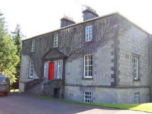 Toberfeckin Houserectory/glebe/vicarage/curate's house · 1.5 mi
 Bawn in Tanrego WestBawn · 2.0 mi
 CarrigeenfaddaIslet · 2.3 mi
 Moymlough Castle (in Ruins)Castle, tower house · 2.4 mi
 European ashEuropean ash · 2.7 mi