
What is recorded here
In pasture, on a slight rise and immediately NE of a road. A raised roughly circular area (diam. c. 19m) defined by a scarp (H 0.55m) SSE-SSW and by a scarp incorporated into a curving field boundary NW-SSE. The field boundary (Wth 6m; int. H 1.4m; ext. H 1.8m), which is largely obscured by overgrowth, is a broadly slumped heap of tumbled stones with sections of drystone walling intact in places on its inner side.
The above description is derived from the published 'Archaeological Inventory of County Sligo' compiled by Ursula Egan, Elizabeth Byrne, Mary Sleeman with Sheila Ronan and Connie Murphy (Dublin Stationery Office, 2005).
Date of upload: 18 January 2008
The monument record does not grant public access. Check the route and ask the landowner before entering private land.
- What survives
- Recorded monument
Places near here
 TobercalleenHoly well · 152 yd
 Enclosure in LarkhillEnclosure · 1125 yd
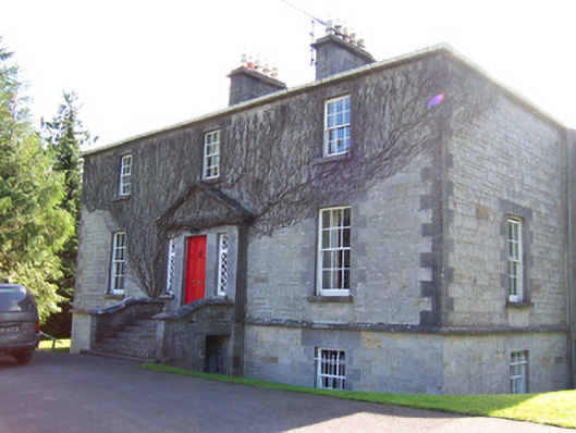 Toberfeckin Houserectory/glebe/vicarage/curate's house · 1703 yd
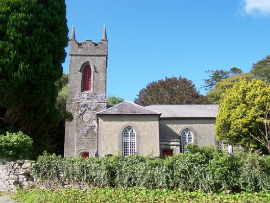 Christ Church (Dromard)church/chapel · 1759 yd
 Derinch PointHeadland · 1.0 mi
 DoomoreMountain / peak · 1.0 mi
 RinnatalleenHeadland · 1.0 mi
 Bawn in Tanrego WestBawn · 1.5 mi
 Tullaghan HillMountain / peak · 1.8 mi
 CarrigeenfaddaIslet · 2.2 mi
 European ashEuropean ash · 2.3 mi
 Moymlough Castle (in Ruins)Castle, tower house · 2.9 mi
Other information
Photo: Credit not shown in the picture search · Rights wording not checked; contact us if this picture should be removed