
What is recorded here
In pasture, adjacent to a low rise. Recorded in 1836 as 'Cuilltilinead Holy Well (Cultiliney means the woods of Liney)' at which stations were prohibited by the priests due to 'some vice or misconduct' committed by those who visited it (OSNB vol. 1, 139). There are no visible remains of this well.
The above description is derived from the published 'Archaeological Inventory of County Sligo' compiled by Ursula Egan, Elizabeth Byrne, Mary Sleeman with Sheila Ronan and Connie Murphy (Dublin Stationery Office, 2005).
Date of upload: 18 January 2008
Tobercalleen, also known as Crockacullion, is a holy well associated with Saint Liney (Liatháin), a 6th-century Irish saint linked to several holy sites in County Clare. The well was historically significant but fell into disrepute in the 19th century when local priests banned pilgrimage due to misconduct at the site.
This remains an important historical record, but the official description says the monument is no longer visible or has been destroyed. The monument record does not grant public access. Check the route and ask the landowner before entering private land.
- What survives
- No visible remains or recorded as destroyed
Places near here
 Enclosure in CrockacullionEnclosure · 152 yd
 Enclosure in LarkhillEnclosure · 1140 yd
 DoomoreMountain / peak · 1701 yd
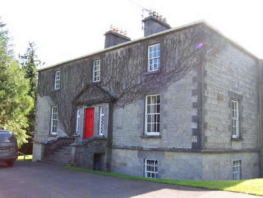 Toberfeckin Houserectory/glebe/vicarage/curate's house · 1.0 mi
 RinnatalleenHeadland · 1.1 mi
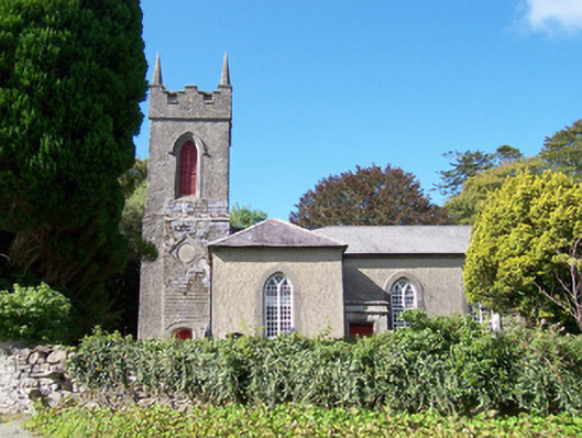 Christ Church (Dromard)church/chapel · 1.1 mi
 Derinch PointHeadland · 1.1 mi
 Bawn in Tanrego WestBawn · 1.6 mi
 Tullaghan HillMountain / peak · 1.7 mi
 CarrigeenfaddaIslet · 2.2 mi
 European ashEuropean ash · 2.4 mi
 Moymlough Castle (in Ruins)Castle, tower house · 2.8 mi
Other information
Photo: Credit not shown in the picture search · Rights wording not checked; contact us if this picture should be removed