What is recorded here
No visible stone remains, but a forgotten ringfort once stood on the Loughcurra South hillock. Its ghost still belongs to the land, waiting for rain or memory to reveal the shape that time erased.
On a hillock in pastureland. Marked on the OS 6-inch maps as a circular enclosure (diam. c. 25m). No visible surface trace survives. The cartographic evidence suggests it was a ringfort, possibly a cashel.
Compiled by: Galway Archaeological Survey, UCG
Date of upload: 17 April 2019
The monument record does not grant public access. Check the route and ask the landowner before entering private land.
- What survives
- Recorded monument
Places near here
 farm housefarm house · 849 yd
 IndicatedFairy fort / stone ringfort · 919 yd
 CaveMan-made underground passage · 1185 yd
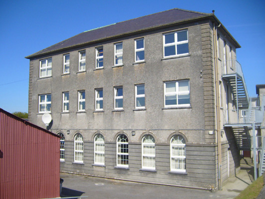 Seamount Collegehouse · 1.1 mi
 CastleCastle, tower house · 1.1 mi
 Dungory Castle (in ruins)Castle, tower house · 1.2 mi
 Mulroney's IslandIslet · 2.2 mi
 Cusheen IslandIslet · 2.5 mi
 Coole-Garryland Nature ReserveNature reserve · 3.7 mi
 European BeechEuropean Beech · 4.0 mi
 Traught BeachBeach / strand · 4.2 mi
 Grave of Saint Mac Duagh's ServantArchaeological place · 4.3 mi