What is recorded here
Lavallyconor holds a broken stone ring on a pasture rise, preserving three possible house sites and a dark underground passage though the south wall vanished under field clearance. The name suggests fairy trickery, but the shape records human choice: a narrow circular home large enough for several rooms, tools and argument. The missing southern edge does not erase the place; it redirects attention to the passage, the surviving houses and the field that took the wall.
On a rise in undulating pastureland. This subcircular cashel (38.9m N-S; 37m E-W), in fair condition, is defined by a collapsed drystone wall except at S where no visible surface trace survives due to field clearance. Possible house sites (GA104-170003-, GA104-170004- and GA104-170005- are visible in the NW quadrant and E half of the interior, and there is a Man-made underground passage (GA104-170002-) in the SW quadrant. A pile of field-clearance rubble is visible in the centre of the the N half. Another cashel (GA104-167----) lies c. 100m to the W. (McCaffrey 1952, 235, no. 96a)
Compiled by: Galway Archaeological Survey, UCG
Date of upload: 10 October 2019
The monument record does not grant public access. Check the route and ask the landowner before entering private land.
- What survives
- Recorded monument
Places near here
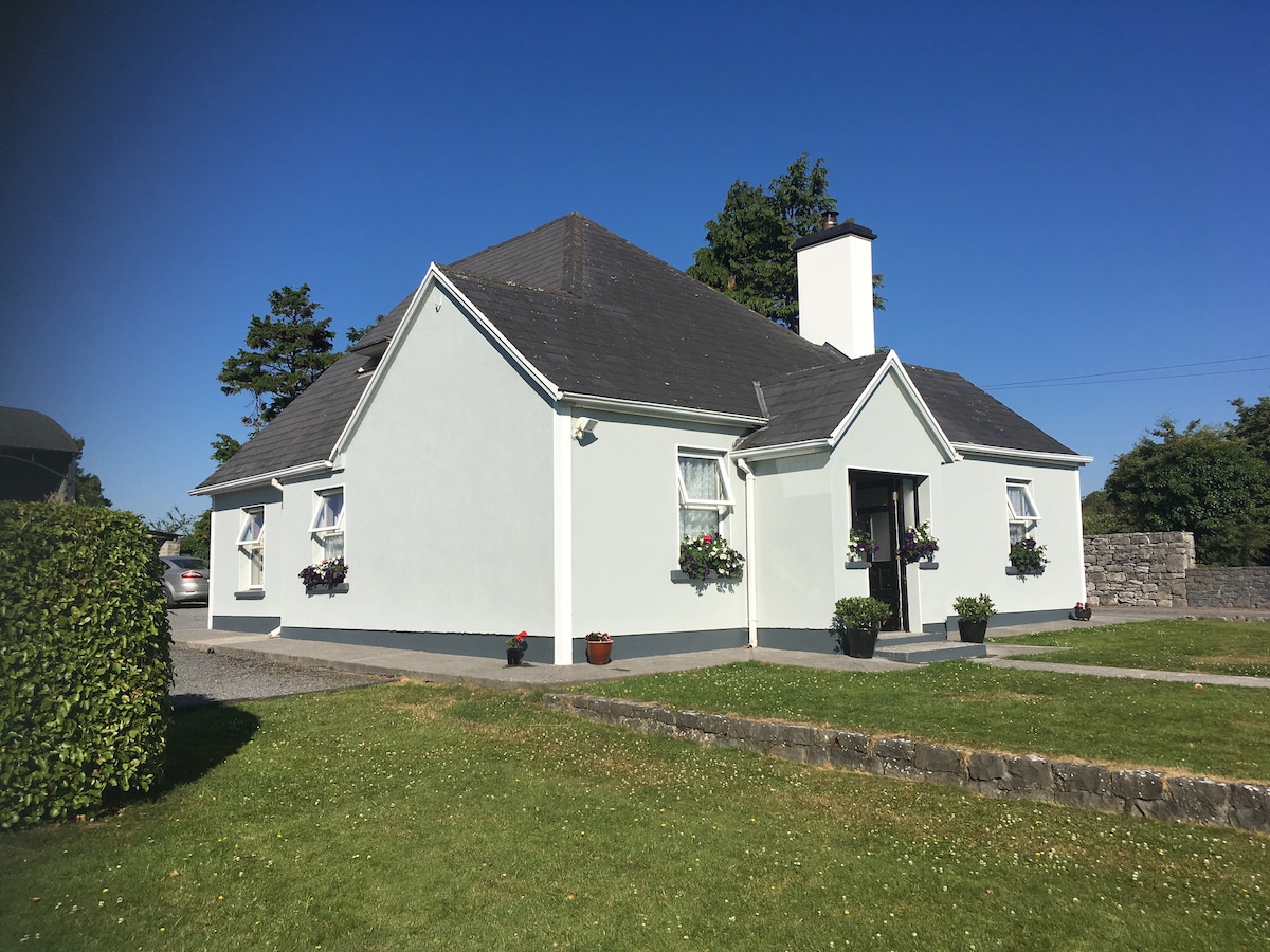 Hut site in Castletaylor SouthHut site · 1.2 mi
 CaherweelderFairy fort / stone ringfort · 1.3 mi
 R.C. Chapel (in Ruins)Chapel · 1.4 mi
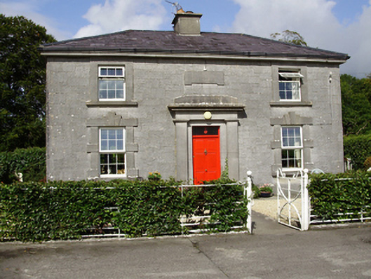 Castle Taylorsteward's house · 1.4 mi
 Cloghroak Castle (in ruins)Castle, tower house · 1.7 mi
 Dunkellin Castle (in ruins)Castle, tower house · 2.4 mi
 Kilcornan ForestWood · 3.8 mi
 Drumharsna CastleHeritage attraction · 4.1 mi
 Loughaun WoodWood · 4.4 mi
 Drumacoo Monastic SiteHeritage attraction · 4.8 mi
 Mulroney's IslandIslet · 7.1 mi
 Goose IslandIslet · 8.8 mi