What is recorded here
In Lakyle, a ruined ringfort sits above Lough Kinlea, its stones buried under field-wall rubble and forgotten by time. The name “Fairy fort” hints at old belief, yet no record confirms magic or mischief there. What remains is a circular shadow in the pasture, half-swallowed by earth, waiting for someone to notice what the fields have hidden.
In pastureland overlooking Lough Kinlea to the S. Marked on the 1838 and 1933 editions of the OS 6-inch maps as a subcircular hachured enclosure (c. 28m N-S; c. 26m E-W). On the 1933 edition rock outcrop is depicted in the interior. Classified by McCaffrey (1952, 234, no. 82a) as a 'very ruinous ... Earthen fort'. When inspected in February 1983 a roughly circular area of earth and boulders was visible but most of this material appeared to be clearance from the neighbouring field walls completing obscuring the monument. On a revisit in October 2001 the condition of the monument was still the same. It is possible that this is a cashel considering that it is located in an area of outcropping rock. Another cashel (GA104-161----) lies c. 110m to the NE.
Compiled by: Olive Alcock
Date of upload: 11 January 2017
The monument record does not grant public access. Check the route and ask the landowner before entering private land.
- What survives
- Recorded monument
Places near here
 CaveMan-made underground passage · 526 yd
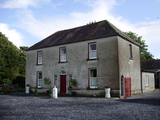 Carheen Househouse · 654 yd
 Cregg Castle (in ruins)Castle, tower house · 684 yd
 Field system in CarheenField system · 783 yd
 Killogilleen Church (in ruins)Church · 922 yd
 CarnanthomasCastle, unclassified · 1.5 mi
 Scalpeen RockNamed rock · 5.7 mi
 HawthornHawthorn · 6.2 mi
 European ashEuropean ash · 6.2 mi
 Drumacoo Monastic SiteHeritage attraction · 8.0 mi
 MweenisharanIslet · 9.6 mi
 Mulroney's IslandIslet · 10.0 mi