What is recorded here
Lack holds a twenty-metre stone ring beside Castlemaine Harbour, preserving a collapsed hut and a narrow underground passage that people likely dug to hide goods or escape storms. The wall still stands two and a half metres thick at its best, while a southwestern gap marks the entrance and a mysterious platform waits nearby without explanation. Stones taken for fences and roads reduced much of the structure to a bank, yet the inner chamber and dark passage remain enough to suggest that this was not a fairy tale but a human home shaped by sea, weather and memory.
Internal diam. c. 20m
Situated on a gentle S facing slope about 150m from the N shore of Castlemaine Harbour, this circular cashel contains the remains of a clochaun and Man-made underground passage. Stones have been robbed from the site in the past to provide building material for fences and roads. The enclosing wall is reduced, for the most part, to a stony bank, but both inner and outer wall faces are traceable at SSE and the wall thickness here is 2.5m. A .4m wide gap at SW probably marks the original entrance. A N-S field wall skirts the E side of the cashel, and the angles between this and the cashel wall are occupied by a stony platform of unknown function. The platform is c. 0.65m high, and the presence of some facing stones at SSE, about 2m beyond the outer face of the cashel, suggest that the platform may formerly have been delimited by a retaining wall.
Clochaun: The wall of the hut has collapsed inwards obscuring most of its inner face. Only a single course of the outer face is visible and this, like the faces of the cashel wall, is composed of slabs set on edge rather than laid flat. The hut is circular in plan and has an overall diameter of 7.75m.
Souterrain: This is located in the W part of the interior and consists of a short passage aligned roughly NNE-SSW. It measures 3.4m in length x c. 0.8m in width and the drystone-built walls incline inwards slightly towards the flagged roof. The floor is obscured by collapse and the maximum height of the passage is now only .7m. Though the N end of the passage is considerably collapsed there appears to have been an end wall at this point. The S end is completely blocked by collapse and the passage may have continued further in this direction. The well entrance occurs at the S end of the accessible section.
Within the same field are 2 unclassified features whose relationship, if any, with the cashel is unknown. A rectangular, stony platform, 8m N-S x 3.15m E-W x .4m high, lies 52m to SW of the cashel. A low, earthen ridge, 3.15m wide x .25m high, extends for at least 30m to N of this. A slightly crescent-shaped, grass-grown mound of stones lies c. 80m to S of the cashel. It measures 11.2m NE-SW x c. 2.8m in width x c. 1m in height. A large, irregularly-shaped depression, up to 3.6m in diameter, lies c. 3.5m to SW of the W end of the mound. It is enclosed by a low bank of grass-grown stones and the interior also appears to be stony. The origin of these features is not clear.
The above description is derived from J. Cuppage, ‘Corca Dhuibhne. Dingle Peninsula archaeological survey. Ballyferriter. Oidhreacht Chorca Dhuibhne’ (1986), no. 584. In certain instances the entries have been revised and updated in the light of recent research.
Date of upload: 7 August 2013
The monument record does not grant public access. Check the route and ask the landowner before entering private land.
- What survives
- Recorded monument
Places near here
 Church in LackChurch · 779 yd
 KilnKiln, corn-drying · 965 yd
 Enclosure in AughilsEnclosure · 1.0 mi
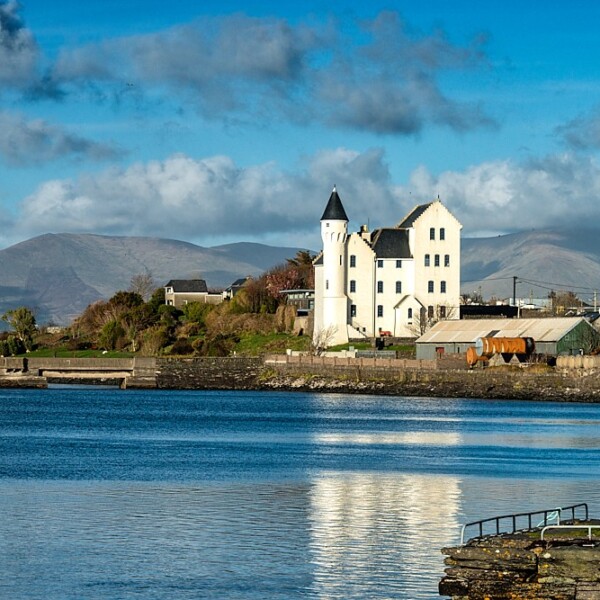 Hut site in CaherpierceHut site · 1.1 mi
 Cromane PointHeadland · 1.1 mi
 Lack MountainMountain / peak · 1.6 mi
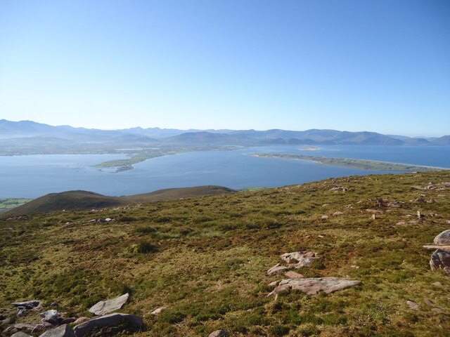 MoanlaurMountain / peak · 1.8 mi
 Cromane BeachBeach / strand · 2.9 mi
 Inch BeachBeach / strand · 3.4 mi
 Faisr's GraveArchaeological place · 4.2 mi
 Lough Yganavan Nature ReserveNature reserve · 4.2 mi
 Site of Camp CastleCastle, unclassified · 4.5 mi