What is recorded here
Knockfennell Hill carries a stone ringfort above Lough Gur, where cultivation ridges and later field boundaries still touch the cashel. The fort stands on rocky pasture with panoramic views, surrounded by enclosures, hut sites, a ring cairn and another ringfort. People may have lived there, herded there or marked the hill before maps existed, while later fields cut through the old place.
In rocky pasture on the W summit of Knockfennell Hill overlooking and adjacent to Lough Gur 200m to SE, with panoramic views in all directions. The field system (LI032-014001-) with cultivation ridges abuts and surrounds the cashel. Two enclosures (LI032-183\338----) are located 185m and 285m to NE; two hut sites (LI032-014007/8-) are located 140m to E; a ring cairn (LI032-014009-) is located 350m to ENE and a ringfort (LI032-014003-) is located 185m to S.
The cashel is not depicted on the 1840 ed. OSi 6-inch map but is depicted on the 1897 ed. OSi
25-inch map as a circular embanked enclosure (int. dims. 30m N-S; 36m E-W) with an external rock cut fosse (Wth 5m) on the S side. The cashel is visible on OSi orthoimages taken 2005-12 and on Digital Globe orthoimages taken 2011-2013. Identified as a cashel or stone fort by O’Kelly (1944, 47), Ó Ríordáin (1954, 458) and O’Kelly (1978, 27). Inspected by the ASI when it was described as ‘a broad oval flattish outcropping area (ext. dims. 44m N-S; 34m E-W) demarked by the base of a stone bank’ situated on ‘the SW end of Knockfennell Hill’. Old ‘field boundaries and ridges’ are noted to the NE. One of the later field boundaries (LI032-014001-) is located bisecting the interior of the cashel orientated E-W suggesting that the field system and cultivation ridges are later than the cashel. The cashel is visible on oblique aerial photographs (CUCAP APC080) taken 14/07/1966 and on Google Earth orthoimages taken 05/04/2006; 10/03/2016; 28/06/2018 and 20/09/2020.
See attached Cambridge Aerial photos APC080 and Google Earth orthoimages
Compiled by: Edmond O’Donovan
Date of upload: 4 November 2020
The monument record does not grant public access. Check the route and ask the landowner before entering private land.
- What survives
- Recorded monument
Places near here
 Hut site in KnockfennellHut site · 250 yd
 Field system in KnockfennellField system · 267 yd
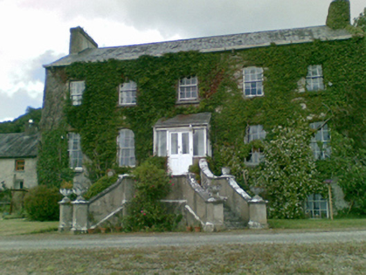 Loughgur Housecountry house · 365 yd
 Garret IslandCastle, unclassified · 597 yd
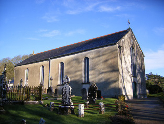 Catholic Church of Saint Patrick and Saint Brigidchurch/chapel · 716 yd
 The SpectaclesVisitor information · 855 yd
 Pedunculate OakPedunculate Oak · 875 yd
 Lough Gur Heritage CentreVisitor information · 926 yd
 Black Castle (in ruins)Castle, tower house · 1179 yd
 Grange Stone CircleArchaeological place · 1216 yd
 Lough GurVisitor information · 1245 yd
 Banoge's WellSpring · 2.1 mi