What is recorded here
No one knows when the fort was built, but its stones still stand in a broken circle above the grass, waiting to be remembered. It may have been a home, a refuge or a boundary marker, and the missing eastern wall suggests the land itself took back part of the shape. The fort does not need a date to be strange; it keeps the older idea that people lived here, shaped the rock and then disappeared into the story.
On a slight rise in an area of reclaimed grassland and outcropping rock. This poorly preserved circular cashel (diam. 20m) is defined by a much-collapsed double-faced drystone wall (Wth 1.8m; max. H 1m) constructed of large upright boulders and a rubble core. No trace of it survives from from N to E. A possible house site (GA113-1370012-) is visible in the S half of the interior, which is raised and strewn with stones. Current aerial imagery (Google Earth 25 May 2021) indicates that a possible annexe or field extends off the cashel to the NW. An wall within this may be an internal division. Field-clearance material has been piled immediately outside the S sector of the cashel wall.
Compiled by: Galway Archaeological Survey, UCG
Edited by: Olive Alcock
Date of revised upload: 23 June 2023
The monument record does not grant public access. Check the route and ask the landowner before entering private land.
- What survives
- Recorded monument
Places near here
 CrossCross, Churchyard cross · 193 yd
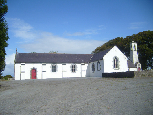 Saint Colman's Catholic Churchchurch/chapel · 211 yd
 mill (wind)mill (wind) · 401 yd
 Not locatedMan-made underground passage · 1357 yd
 Mulroney's IslandIslet · 1.1 mi
 CastleCastle, tower house · 1.1 mi
 Cusheen IslandIslet · 1.2 mi
 Dunguaire CastleCastle · 1.2 mi
 Traught BeachBeach / strand · 2.6 mi
 Abbey HillMountain / peak · 3.7 mi
 Turlough HillMountain / peak · 4.2 mi
 Grave of Saint Mac Duagh's ServantArchaeological place · 4.2 mi