What is recorded here
Magic fort on a Donegal hilltop, an eighteen-metre stone circle above a broad green meadow. Its wall has collapsed on one side, but the rock foundation still holds the shape of a small defensible house. People may have lived there, watched the valley or kept animals in the meadow below. The fairies may have taken the roof and left the stones behind.
Internal diam. c. 18m. A subcircular area enclosed by a collapsed wall of stone and turf. It is much damaged on the SW side. The site is on a magnificent hilltop location on rock outcrop. Just below is a large area of elevated meadow, almost a lawn.
The above description was derived from the 'Archaeological Survey of County Donegal. A description of the field antiquities of the County from the Mesolithic Period to the 17th century.' Compiled by: Brian Lacey with Eamon Cody, Claire Cotter, Judy Cuppage, Noel Dunne, Vincent Hurley, Celie O'Rahilly, Paul Walsh and Seán Ó Nualláin (Lifford: Donegal County Council, 1983). In certain instances the entries have been revised and updated.
Date of upload: 22 September 2008
The monument record does not grant public access. Check the route and ask the landowner before entering private land.
- What survives
- Recorded monument
Places near here
 Enclosure in Keeloges (clonleigh South Ed)Enclosure · 1029 yd
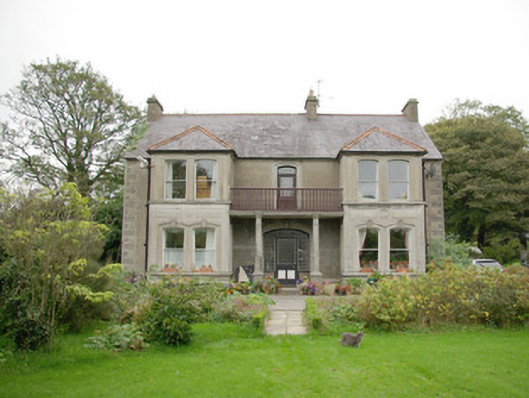 Gortfad Househouse · 1708 yd
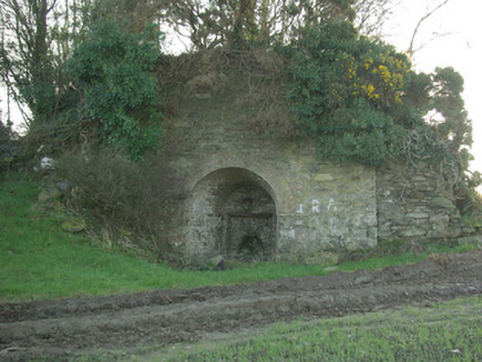 kilnkiln · 1.2 mi
 Church (Site of)Church · 1.3 mi
 OutlinedBawn · 1.4 mi
 Croaghan HillMountain / peak · 1.4 mi
 Carnowen HillMountain / peak · 1.6 mi
 CastleCastle, unclassified · 1.7 mi
 BATTLE SITE: in 789 AD & BATTLE OF THE FORDS , Southern crossing, 1689 in Clady; DonnygowanBATTLE SITE: in 789 AD & BATTLE OF THE FORDS , Southern crossing, 1689 · 2.1 mi
 BATTLE SITE: BATTLE OF THE FORDS, Central crossing, 1689 in Magirr; Town Parks OF StrabaneBATTLE SITE: BATTLE OF THE FORDS, Central crossing, 1689 · 3.7 mi
 Gray PrinterHeritage attraction · 4.3 mi
 Second World War MemorialMemorial · 4.3 mi