What is recorded here
Fairy fort / stone ringfort in Kilmacteige is a fairy fort or stone ringfort in Kilmacteige, County Sligo, Ireland. The oval cashel sits on a south-facing slope of the Ox Mountains, measuring thirty metres northeast-southwest and twenty-one metres northwest-southeast. Drystone wall foundations line the southern and southeastern edges, while hawthorn, blackthorn and brambles now fill the interior. Another cashel lies eighty metres to the west.
On a S-facing slope of the Ox Mountains. An oval area (diam. 30m NE-SW; 21m NW-SE) terraced into the slope with the N half 2.2m below and the S half up to 2m above the external ground level. Foundations of a drystone wall (Wth 0.6m), topped by a field boundary wall, are evident at the edge of the interior along the S and SE arcs. The cashel is densely overgrown with hawthorn and blackthorn bushes and brambles. Another cashel (SL036-014001-) lies c. 80m to W.
The above description is derived from the published 'Archaeological Inventory of County Sligo' compiled by Ursula Egan, Elizabeth Byrne, Mary Sleeman with Sheila Ronan and Connie Murphy (Dublin Stationery Office, 2005).
Date of upload: 18 January 2008
The monument record does not grant public access. Check the route and ask the landowner before entering private land.
- What survives
- Recorded monument
Places near here
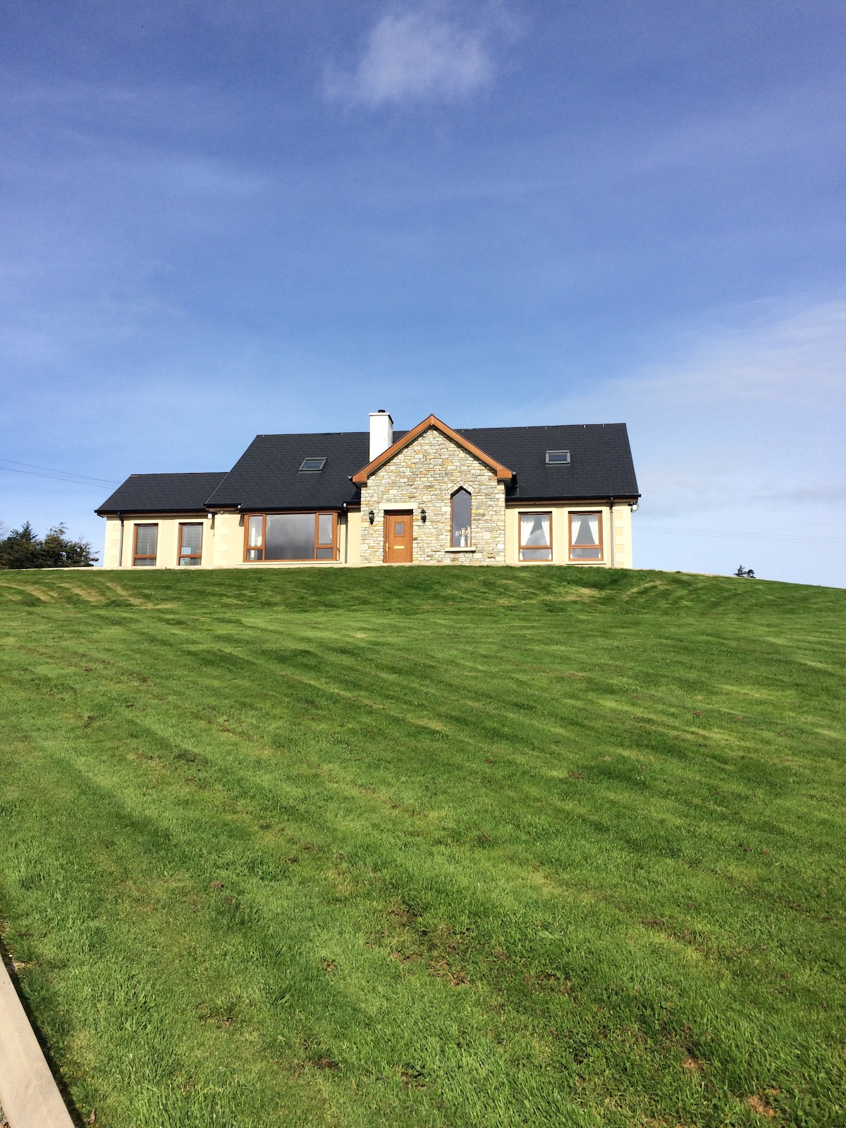 CashelmoreFairy fort / stone ringfort · 123 yd
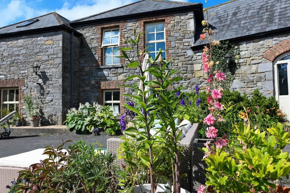 CashelbawnFairy fort / stone ringfort · 843 yd
 Church in KilmacteigeChurch · 1008 yd
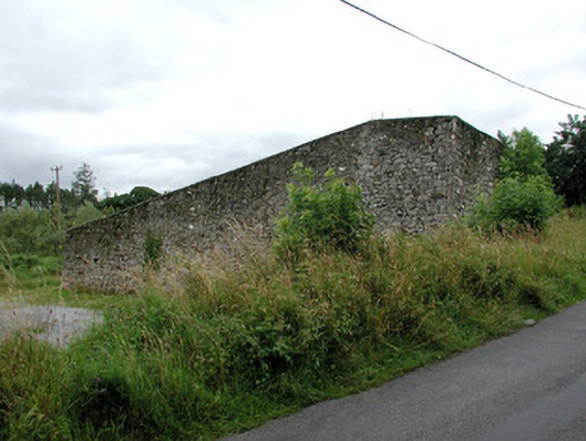 handball alleyhandball alley · 1052 yd
 Castle (in Ruins)Castle, tower house · 1109 yd
 KnockasliggaunMountain / peak · 3.2 mi
 Castle Carragh in RuinsCastle, unclassified · 3.7 mi
 Lough Talt TrailVisitor information · 3.7 mi
 Largan HillMountain / peak · 4.4 mi
 Carrick WoodWood · 4.9 mi
 HawthornHawthorn · 5.0 mi
 Hennigan's Heritage CentreHeritage attraction · 5.0 mi