What is recorded here
Illanfad is a small Donegal island where a collapsed stone ring sits at the beach end, its thick wall fallen but still drawing the eye. People called it a fairy fort, perhaps because the shape appeared sudden and empty on the open pasture. A modern sheep pen leans against one side, mixing human use and local wonder in the same place.
Internal diam. 7.9m. A subcircular area enclosed by a collapsed stone wall averaging 2.5m in width. There is some slab present in the walling. A modern sheep pen is built at the S side of the 'Fort'. It is situated at the SSE end of Illanfad island abutting the beach. The island consists of good pasture.
The above description was derived from the 'Archaeological Survey of County Donegal. A description of the field antiquities of the County from the Mesolithic Period to the 17th century.' Compiled by: Brian Lacey with Eamon Cody, Claire Cotter, Judy Cuppage, Noel Dunne, Vincent Hurley, Celie O'Rahilly, Paul Walsh and Seán Ó Nualláin (Lifford: Donegal County Council, 1983). In certain instances the entries have been revised and updated.
Date of upload: 22 September 2008
The monument record does not grant public access. Check the route and ask the landowner before entering private land.
- What survives
- Recorded monument
Places near here
 Old Church in RuinsChurch · 359 yd
 Former Cullion Fairy FortFairy fort / ringfort · 1350 yd
 An Chorr Double Stone RingfortFairy fort / stone ringfort · 1520 yd
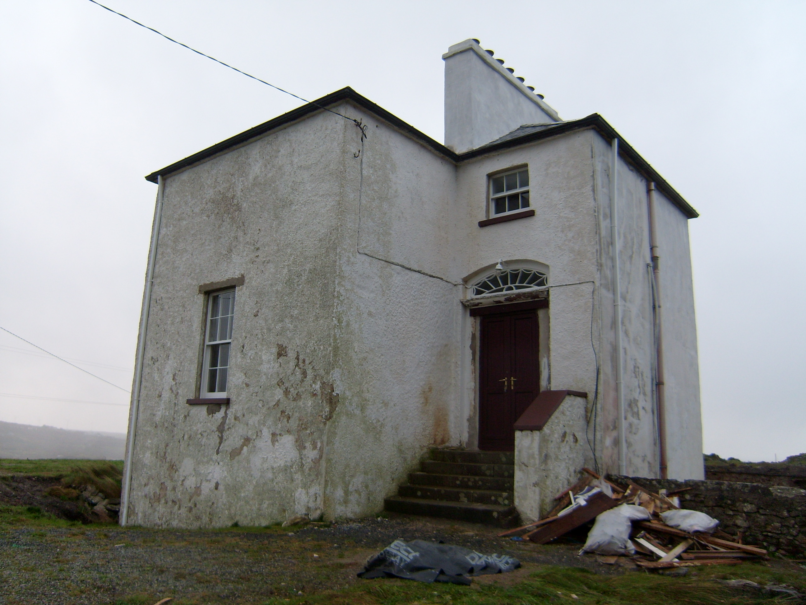 The Old Rectoryrectory/glebe/vicarage/curate's house · 1712 yd
 Wych ElmWych Elm · 1.1 mi
 Bonny Glen Wood - Bonny Glen walkOfficial walking route · 1.8 mi
 Bonny Glen WoodForest recreation place · 1.9 mi
 DooeyOfficial bathing water · 2.8 mi
 Narin–Portnoo StrandOfficial bathing water · 3.7 mi
 InishkeelIslet · 4.0 mi
 St. Connell's Museum and Heritage CentreMuseum · 4.2 mi
 Doon FortFairy fort / stone ringfort · 4.3 mi