What is recorded here
Fairy fort / stone ringfort in Graigue (Moycarky parish) is a fairy fort or stone ringfort in Graigue (Moycarky parish), County Tipperary, Ireland. It occupies a gradual southeast slope in gently undulating pasture and preserves an irregular area measuring 40.7 metres from northeast to southwest. A low bank defines the site, taking the form of a stone wall at the northeast with inner and outer stone facing around a rubble and clay core. The wall measures 1.55 metres wide, rising 0.4 metres internally and 0.7 metres externally.
Situated on a gradual SE slope in gently undulating terrain, in pasture. A poorly preserved irregular-shaped area (diam. 40.7m NE-SW) defined by a low bank which takes the form of a stone wall at NE with inner and outer stone-facing and rubble and clay core (Wth 1.55m; int. H 0.4m; ext. H 0.7m). A neighbouring landowner remembers when the site was more intact with a stone wall forming the enclosing element. The NW quadrant has been destroyed and a rubble stone wall erected, slightly transecting this sector. There is a gap in the E sector (Wth c. 3.2m).
The above description is derived from 'The Archaeological Inventory of County Tipperary. Vol. 1 - North Tipperary' compiled by Jean Farrelly and Caimin O'Brien (Dublin: Stationery Office, 2002). In certain instances the entries have been revised and updated in the light of recent research.
Date of upload/revision: 22 September 2008
This remains an important historical record, but the official description says the monument is no longer visible or has been destroyed. The monument record does not grant public access. Check the route and ask the landowner before entering private land.
- What survives
- No visible remains or recorded as destroyed
Places near here
 CastleCastle, tower house · 932 yd
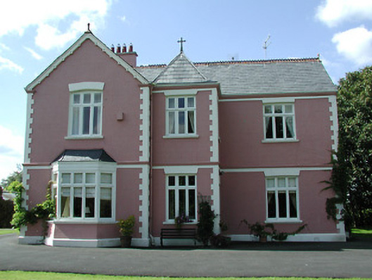 presbytery/parochial/curate's housepresbytery/parochial/curate's house · 1159 yd
 Church (in ruins), Grave Yd.Church · 1222 yd
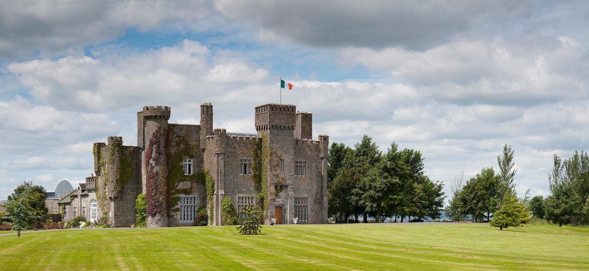 Graigue CastleCastle · 1259 yd
 Enclosure in MoycarkyEnclosure · 1.1 mi
 Enclosure in Turtulla (fertiana Par.)Enclosure · 1.2 mi
 Gift Horse GalleryGallery · 1.6 mi
 Killough Hill (site of)Mountain / peak · 2.1 mi
 Wildlife CorridorWood · 2.1 mi
 Byrnes's WoodsForest · 2.2 mi
 Horse and JockeyVisitor information · 2.4 mi
 Lár na PáirceMuseum · 3.2 mi