What is recorded here
Fairy fort / stone ringfort in Gortnaleck is a fairy fort or stone ringfort in Gortnaleck, County Sligo, Ireland. It occupies a slight north-facing pasture slope as a raised circular area measuring eighteen metres east-west and sixteen metres north-south. A six-point-two-metre-wide rubble limestone bank encloses the site, though the bank disappears from the southeast to south-southwest where a public road defines the edge. No entrance or surrounding ditch remains visible.
Situated on a slight N-facing slope in pasture. Slightly raised roughly circular area (dims. 18m E-W; 16m N-S) enclosed by a bank of rubble limestone (Wth 6.2m: int. H 0.3m). No fosse visible. From SE-SSW the bank is absent and the edge of the site is defined by a public road. Original entrance not recognisable.
Compiled by: Patrick F. O'Donovan
Date of upload: 21 April 2011
The monument record does not grant public access. Check the route and ask the landowner before entering private land.
- What survives
- Recorded monument
Places near here
 Sweathouse in GortnaleckSweathouse · 280 yd
 IndicatedFairy fort / stone ringfort · 511 yd
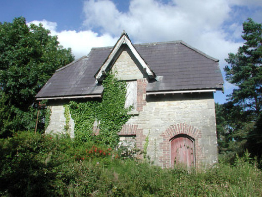 Benbulbin Old Schoolschool master's house · 1441 yd
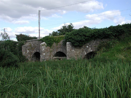 Ardnaglass Bridgebridge · 1.0 mi
 BenbulbenMountain · 1.5 mi
 BenbulbinMountain / peak · 1.5 mi
 Benwiskin South TopMountain / peak · 1.8 mi
 Dermot & Grania's BedCave · 2.3 mi
 InishnagorIslet · 2.6 mi
 Connors IslandIsland · 2.8 mi
 Atlantic SheepdogsHeritage attraction · 2.9 mi
 Gleniff Horseshoe DriveViewpoint · 2.9 mi