What is recorded here
Fairy fort / stone ringfort in Gortmore is a cashel in County Clare, Ireland. A narrow gap, scarp and loose stones suggest it was made, changed or reused rather than simply abandoned. The flat interior and surrounding boundaries suggest people lived, worked or marked territory there, while the fairy name preserves the older idea that the place belonged to someone else.
On a SSW-facing slope, in rough pasture with excellent views E-SW, although obscured by a high drystone wall (H 1.5-1.7m) NE-ESE. It is depicted on all OS historic mapping as an oval enclosure. It consists of an oval area (31m NW-SE; 28m NE-SW) defined by a stone wall (int. H 0.25m; ext. H 0.2m; Wth at top 4.3m; overall Wth 7.25m) except at SW where there is a scarp (Wth 1.4m; H 0.6m). A stone kerb faces the exterior (H 0.5m) and interior (H 0.2m) NW-SE. The kerbstones on the exterior are large (L 1.2m; Wth 0.25m; H 0.5m) and well arranged, whereas the stones on the interior are smaller (L 0.6m; Wth 0.15m; H 0.2m) and less clearly defined. The wall is sod-covered WNW-NW. The interior is grass-covered and is generally level, except where there is a notable step-down (D 0.5m) as a result of quarrying. A pile of loose stone is located outside the monument at SW, adjacent to the scarp. An entrance gap (Wth 2m) at WNW may be modern. A low sinuous field boundary (long-axis WNW-ESE; Wth 1m) extends from NW. A high stone wall field boundary (long-axis NNE-SSW) is located 1m to E of the monument. An enclosure (CL033-192----) is located c. 47m to NE.
The following images have been uploaded:
CL033-060001-_01.jpg From N. General view of monument.
CL033-060001-_02.jpg From W. General view of interior.
CL033-060001-_03.jpg From WNW. Cross-section view of quarrying within interior of monument.
CL033-060001-_04.jpg From N. N-facing elevation of kerbstones on exterior of monument.
Compiled by: Mary Tunney, Alison McQueen and Vera Rahilly
Date of upload: 18 December 2018
The monument record does not grant public access. Check the route and ask the landowner before entering private land.
- What survives
- Recorded monument
Places near here
 Enclosure in GortmoreEnclosure · 86 yd
 Shallee Castle (in Ruins)Castle, tower house · 722 yd
 Bushypark Househouse · 876 yd
 Cross in Croaghaun (inchiquin By.)Cross · 887 yd
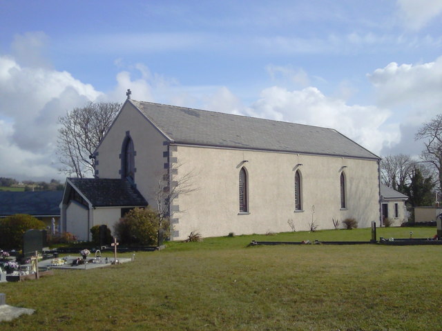 Saint Joseph's Catholic Churchchurch/chapel · 1.3 mi
 Poul na gollorCave · 1.7 mi
 Magowna CastleCastle · 1.9 mi
 Post Office FieldNature reserve · 2.9 mi
 Ennis AbbeyMuseum · 3.0 mi
 Clare MuseumMuseum · 3.1 mi
 Alice and Gwendoline CaveMuseum · 3.2 mi
 Rockmount WoodWood · 3.4 mi