What is recorded here
Fairy fort / stone ringfort in Gortaderry is a fairy fort or stone ringfort in Gortaderry, County Sligo, Ireland. The semi-circular site spans thirty metres and keeps a rubble limestone bank two point four metres wide and zero point seven metres high along its south-east to north-west edge. Rubble blocks and slabs laid on edge reinforce the external base from south-west to north-west, while a modern drystone field wall runs beside the inner base. The original entrance no longer shows, and parts of the ancient bank have disappeared.
Situated on level ground in gently undulating pasture 50m to the W of a now derelict farmhouse. Semi-circular area (diam. 30m) enclosed by a rubble limestone bank (Wth 2.4m; int. H 0.7m). No fosse visible. The bank encloses the site SSE-NW and has been removed elsewhere. The external base of the bank is revetted with rubble blocks and slabs laid on edge SW-NW. A modern drystone field wall (T 0.75m; H 1.8m) has been built at the inner base of the bank SSE-NW with ENE-WSW orientated field walls linking to the ends of the cashel bank at NW and SSE. Original entrance not recognisable.
Compiled by: Patrick F. O'Donovan
Date of upload: 21 April 2011
This remains an important historical record, but the official description says the monument is no longer visible or has been destroyed. The monument record does not grant public access. Check the route and ask the landowner before entering private land.
- What survives
- No visible remains or recorded as destroyed
Places near here
 Enclosure in RathfraskEnclosure · 723 yd
 Sweathouse in GortnaleckSweathouse · 991 yd
 Church (in Ruins)Church · 1316 yd
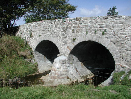 bridgebridge · 1670 yd
 BenwiskinMountain / peak · 1.9 mi
 BenbulbenMountain · 1.9 mi
 Benwiskin South TopMountain / peak · 1.9 mi
 InishnagorIslet · 2.4 mi
 Dermot & Grania's BedCave · 2.4 mi
 Connors IslandIsland · 2.6 mi
 Gleniff Horseshoe DriveViewpoint · 2.7 mi
 Gleniff Horseshoe Drive 2Viewpoint · 2.8 mi