What is recorded here
Mohaunagat Fort, also called Múchán na gCat, is a ruined stone ringfort on the south slope of Trisk Mountain in County Kerry. Its oval enclosure measures about 33 metres north to south and 21 metres east to west, rising 2.6 metres above the land and revealing five beehive-shaped hut foundations made of drystone walling. The name means the cats’ fort, and the wide view from that height makes it easy to imagine people watching the surrounding country, judging weather, marking territory or simply belonging somewhere difficult to reach.
Internal diameter 33m N-S, 21.2m E-W
Mohaunagat Fort/Múchán na gCat (ruined stone structure of the cats) is situated on the S slope of Trisk Mountain and has an extensive view of the surrounding land. It consists of a sub-circular raised area c 2.6m above the surrounding land. Contained within this are five depressions suggesting beehive huts; they are constructed of drystone walling. They are all sub-circular in plan and vary in diameter between 4.8m and 8m.
The above description is derived from C. Toal, ‘North Kerry Archaeological Survey’. Dingle. Brandon in association with FAS Training and Employment Authority (1995), no. 817. In certain instances the entries have been revised and updated in the light of recent research.
Date of upload: 3 August 2013
The monument record does not grant public access. Check the route and ask the landowner before entering private land.
- What survives
- Recorded monument
Places near here
 Mohaunagat FortArchaeological place · 8 yd
 Enclosure in GlenderryEnclosure · 480 yd
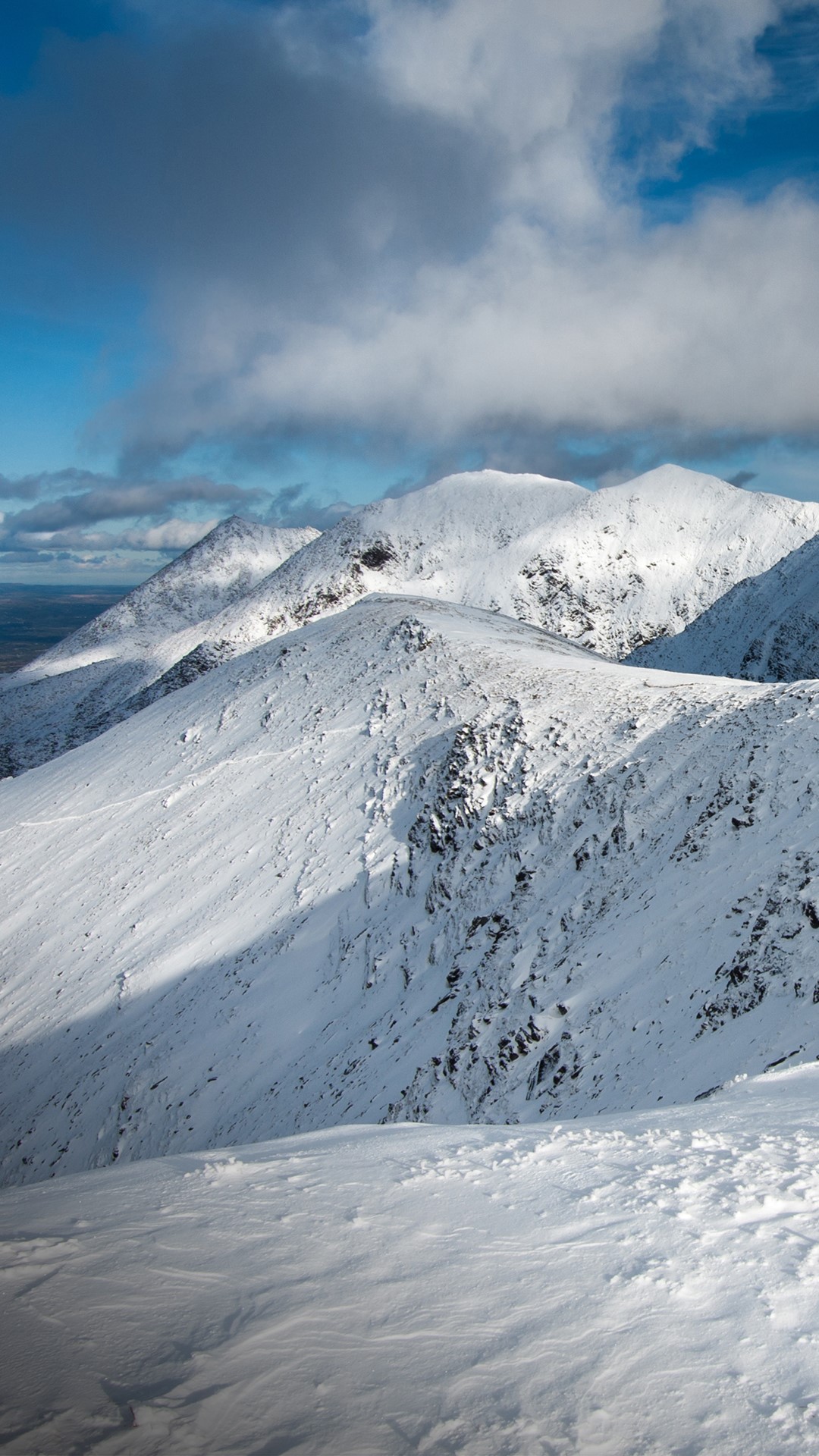 Triskmore MountainMountain / peak · 740 yd
 Triskbeg MountainMountain / peak · 743 yd
 St Macadaws Church (in ruins)Church · 1138 yd
 Kerry Head Signal TowerRuins · 1.4 mi
 Our Lady's Holy WellSpring · 3.3 mi
 Site of Ballingarry CastleCastle, unclassified · 3.9 mi
 Castle Shannon (in ruins)Castle, unclassified · 4.8 mi
 Inshaboy PointHeadland · 5.3 mi
 Banna StrandBeach / strand · 5.6 mi
 Tralee BayBay · 6.2 mi