What is recorded here
No visible entrance, no central hearth, no finished room. A broken stone ring on a mountain slope, with hut shadows inside and a missing eastern wall. The facts stop there.
Internal diam. 22m N-S, 20m E-W
This poorly preserved caher is located in rough grazing land on a W facing slope of Bentee mountain, and affords a panoramic view of Valencia Harbour to NW. The enclosing bank of stone and gravel is sod-covered but appears to be faced with a regular coursing of thin slabs, particularly at W. The bank has been completely removed at E, where a field wall truncates the site. Elsewhere it averages 2.1m and .5m in external and internal height respectively, and is up to 4m wide.
Three circular huts occupy the level interior of the caher. The largest (KE079-044001-) occurs in the NE quadrant, where it abuts the enclosing bank. Measuring 6.2m x 5.9m internally, its wall averages 1.5m wide and .75m high. Where exposed, its inner face is regularly coursed with thin slabs. The entrance is not identifiable. Immediately to W of the first hut is the semicircular outline of the second (KE079-044002-). It appears to have been about 4m in internal diameter, and its wall averages 1.8m wide and .6m high. The third hut (KE079-044003-) is located in the site's SE quadrant, with walls 1.2m wide and .8m high; a possible entrance gap, 1m wide, is preserved at N. The hut measures 5.4m in internal diameter, and its wall abuts the site's enclosing bank. An overgrown shallow depression, with a scattering of stone along its edges, occurs in the SW quadrant of the site and may represent the site of a fourth hut (KE079-044004-).
The above description is derived from A. O'Sullivan and J. Sheehan (compilers), 'The Iveragh peninsula: an archaeological survey of South Kerry'. Cork University Press (1996), no. 586. In certain instances the entries have been revised and updated in the light of recent research.
Date of upload: 29 July 2013
The monument record does not grant public access. Check the route and ask the landowner before entering private land.
- What survives
- Recorded monument
Places near here
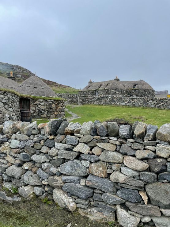 Hut site in GarranebaneHut site · 7 yd
 Megalithic structure in GarranebaneMegalithic structure · 156 yd
 CastleCastle, unclassified · 521 yd
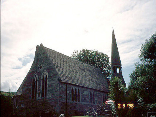 church/chapelchurch/chapel · 699 yd
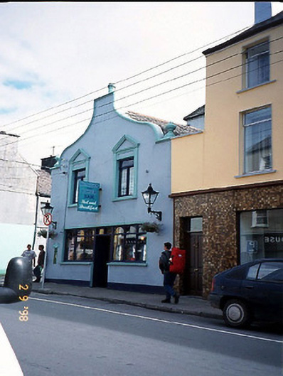 Corner Househouse · 753 yd
 BenteeMountain / peak · 1028 yd
 Foughil IslandIslet · 1.0 mi
 Mc Crehins Castle (Site of)Castle, unclassified · 1.1 mi
 Laharn Bog LoopWalking route · 1.1 mi
 Ballycarbery CastleRuins · 1.5 mi
 White Strand BeachBeach / strand · 2.1 mi
 Beginish IslandIsland · 3.2 mi