What is recorded here
Foghill’s stone ringfort stands on a gentle slope above Lacken Bay, its oval bank still catching the wind despite centuries of neglect. Children were buried inside the stony ground, their small graves marked by upright stones that pierce the earth like broken teeth. The fort belongs to no living person now, yet it keeps its shape against the pasture and dunes, holding death and memory close to the sea.
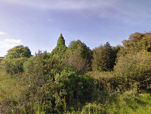
Located on a gentle N-facing slope, overlooking Lacken Bay. The slope gives way at its base to an expanse of flat, damp pasture, merging with sand dunes to NE.
Slightly raised oval area (19m NE-SW; 12.4m NW-SE) enclosed by a stony bank (Wth 2.8m; int. H 0.1m at NE, 0.65m at SE; ext. H 1.4m at NE, 0.6m at SE). The bank is best preserved on the S half. On the N half the external scarp is built up to compensate of the natural slope, but retains only a low internal lip. There is a low area (Wth 2m) in the bank at NE, but no clearly defined entrance feature.
The interior, which slopes slightly down to NW, has an uneven, stony surface. It was used as a children’s burial ground (MA015-003002-), and a number of low, upright stones protruding from the ground may mark graves.
Field clearance stones and boulders are heaped along the bank, especially at NW-N. Clumps of thistles and brambles grow in the interior
Compiled by: Jane O’Shaughnessy
Date of upload: 13 November 2018
The monument record does not grant public access. Check the route and ask the landowner before entering private land.
- What survives
- Recorded monument
Places near here
 TobernacreevaHoly well · 246 yd
 Enclosure in CarrowtrasnaEnclosure · 354 yd
 CastleCastle, unclassified · 1.1 mi
 TrabaunBeach / strand · 1.1 mi
 farm housefarm house · 1.1 mi
 Lackan Church (Lackan)church/chapel · 1.1 mi
 CastlenageehaCastle, unclassified · 1.3 mi
 French Landing 1798Memorial · 1.3 mi
 Rinnaun PointHeadland · 3.3 mi
 Green IslandIslet · 3.7 mi
 Battle of Killalabattle · 3.9 mi
 Lisheen Grave YardArchaeological place · 4.4 mi