What is recorded here
No visible castle wall or castle tower remains at Eochaill. What is left is a faint circular shadow in the grass, wide enough for a small hold and narrow enough to exclude a whole town. The region around Eochaill is scattered with similar rings, which suggests the land once belonged to several small powerful families rather than one distant king. They may have lived there, watched the valley and vanished before records began.
On a hill summit overlooking the village of Corrúch, Inis Mór, to N. Very poorly preserved subcircular cashel (NE-SW 27.3m, NW-SE 25.7m) defined by a grassed-over, collapsed drystone wall overlain by a modern field wall. The interior contains two huts (GA110-110001-, GA110-110002-). (Robinson 1980)
The above description is derived from the published 'Archaeological Inventory of County Galway Vol. I - West Galway'. Compiled by Paul Gosling (Dublin: Stationery Office, 1993).
Date of upload: 05 August 2010
The monument record does not grant public access. Check the route and ask the landowner before entering private land.
- What survives
- Recorded monument
Places near here
 IndicatedEnclosure · 158 yd
 Enclosure in Eochaill (bar. Árainn)Enclosure · 182 yd
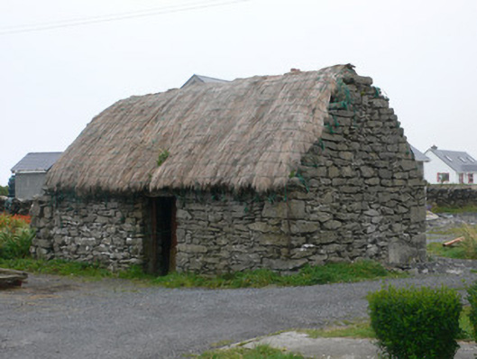 outbuildingoutbuilding · 480 yd
 TempleancheathrairaluinnChurch · 494 yd
 Dún EochlaHeritage attraction · 738 yd
 Seal Colony LookoutViewpoint · 1184 yd
 ÁrainnIsland · 1739 yd
 St. Kieran's Monastic SiteHeritage attraction · 1.1 mi
 An CharcairMountain / peak · 1.1 mi
 Trá na mBuailte (Beach of the Booly)Beach / strand · 1.6 mi
 Arkin's CastleCastle · 2.5 mi
 Castle (in ruins)Castle, unclassified · 3.1 mi