What is recorded here
Fairy fort / stone ringfort in Drumfad is a fairy fort or stone ringfort in Drumfad, County Sligo, Ireland. It occupies the summit of an east-west ridge in pasture, where a twenty-four-metre circular stone bank still marks the original shape. Farming changed the site because field walls now cover parts of the ancient bank and a reconstructed section serves as a boundary. The north-west gap preserves the position of the entrance.
Situated on summit of E-W orientated ridge, on slight SE-facing slope, in pasture. Slightly raised circular area (diam. 24m) defined by a stone bank (Wth 5m; int. H 1.5m). No fosse visible. From SW-SE the bank has been largely removed leaving a low broad bank of stone (Wth 5m; H 0.2m). From SE-SW, the bank has been reconstructed to form a larger bank to act as a field boundary. A N-S orientated field wall lies on top of the bank WSW-WNW. An E-W orientated field wall abuts the external side of the bank at N. A N-S orientated field wall lies on top of the bank NE-SE. A break (Wth 4m) in the bank at NW marks the position of the original entrance.
Compiled by: Patrick F. O'Donovan
Date of upload: 21 April 2011
The monument record does not grant public access. Check the route and ask the landowner before entering private land.
- What survives
- Recorded monument
Places near here
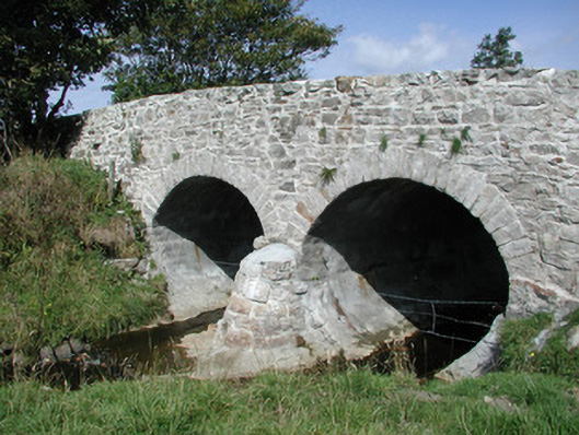 bridgebridge · 800 yd
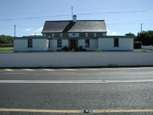 Carn National Schoolschool · 996 yd
 Enclosure in MoneygoldEnclosure · 1220 yd
 Enclosure in RathfraskEnclosure · 1225 yd
 Connors IslandIsland · 1.8 mi
 CastleCastle, unclassified · 2.0 mi
 InishnagorIslet · 2.0 mi
 Trawalua StrandBeach / strand · 2.2 mi
 BenwiskinMountain / peak · 2.5 mi
 Benwiskin South TopMountain / peak · 2.8 mi
 Creevykeel Court TombNeolithic court tomb · 2.8 mi
 Atlantic SheepdogsHeritage attraction · 2.9 mi