What is recorded here
Fairy forts and stone ringforts in Dromree show that people shaped these slopes long before modern fields. The circular area, collapsed wall, cultivation ridges and underground passage suggest a lived-in place where storage, growth and perhaps concealment all mattered. Local names may still carry the idea that the dead or fairy folk use such rings at night, but the stones and ridges prove human hands made the form.
In pasture, on N-facing slope. Roughly circular area (27m N-S; 32m E-W) enclosed by collapsed stone wall (H 0.9m); partially earthen on N side. Disused cultivation ridges cross interior on N-S axis; Man-made underground passage (8883) in SW quadrant.
The above description is derived from the published 'Archaeological Inventory of County Cork. Volume 3: Mid Cork' (Dublin: Stationery Office, 1997). In certain instances the entries have been revised and updated in the light of recent research.
Date of upload/revision: 14 January 2009
The monument record does not grant public access. Check the route and ask the landowner before entering private land.
- What survives
- Recorded monument
Places near here
 kilnkiln · 1120 yd
 Neill's WoodWood · 1137 yd
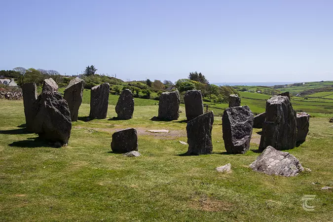 Stone CircleField boundary · 1645 yd
 Man-made underground passage (Site of)Man-made underground passage · 1650 yd
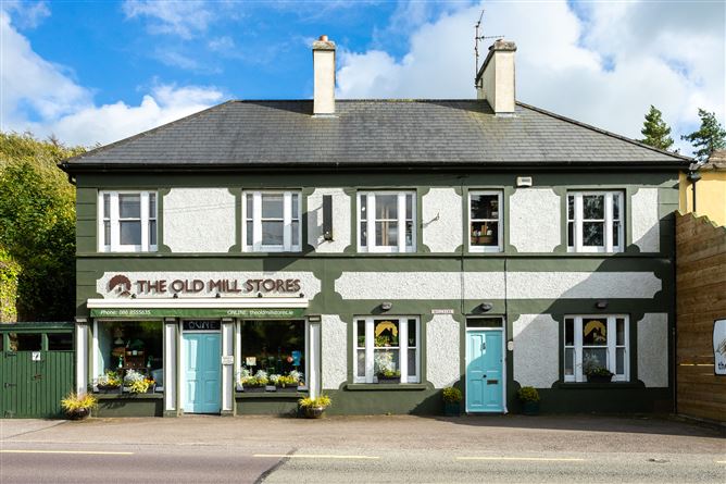 Old MillMill, unclassified · 1.2 mi
 Clonavrick CliffCliff · 1.4 mi
 Macroom WalksVisitor information · 2.0 mi
 Macroom Castle (in Ruins)Castle, tower house · 2.0 mi
 Battle of Macroombattle · 2.1 mi
 Ummera WoodWood · 2.6 mi
 BurrenMountain / peak · 3.1 mi
 Carrigaphooca CastleCastle · 3.1 mi